Humla

About Humla

Humla is located in the Mid-Western Development Region of Nepal, in the Karnali Zone, with its district capitol located in Simikot. It is bordered on the north and west by Tibet, and covers an area of 5,655 km². Due to its unique history and geographic proximity to western Tibet, Humla retains many unique cultural and social dynamics rarely found elsewhere. The central and southern parts of Humla tend to be dominated by Khas and Hindu cultural groups, while the northern areas, such as Limi Valley (northwest) and Nyin Valley (northeast) tend to be more culturally Buddhist, although Khas influences are evident throughout Humla. Learn more about Limi Valley

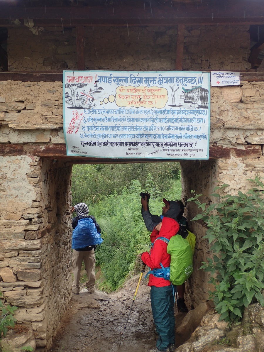
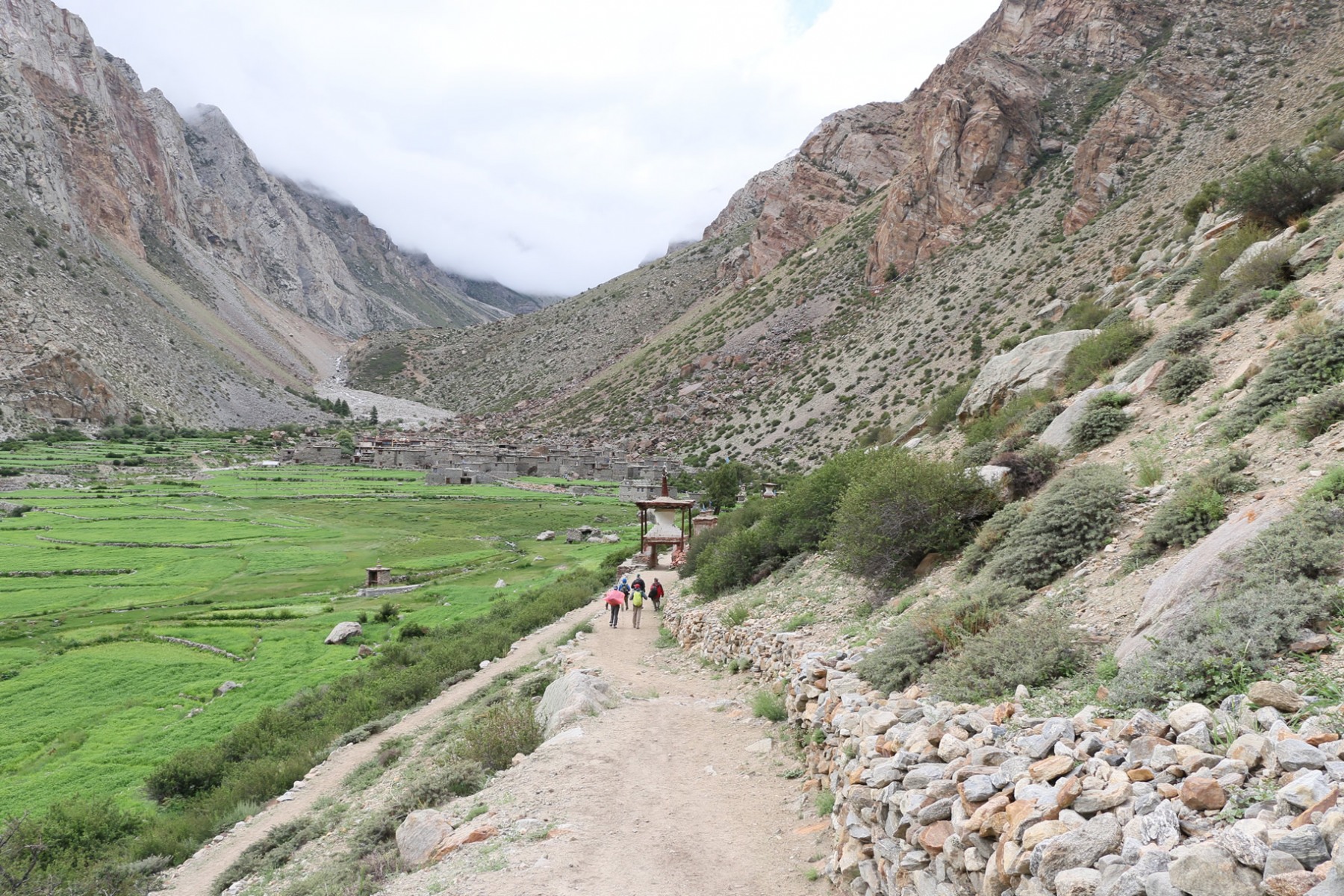
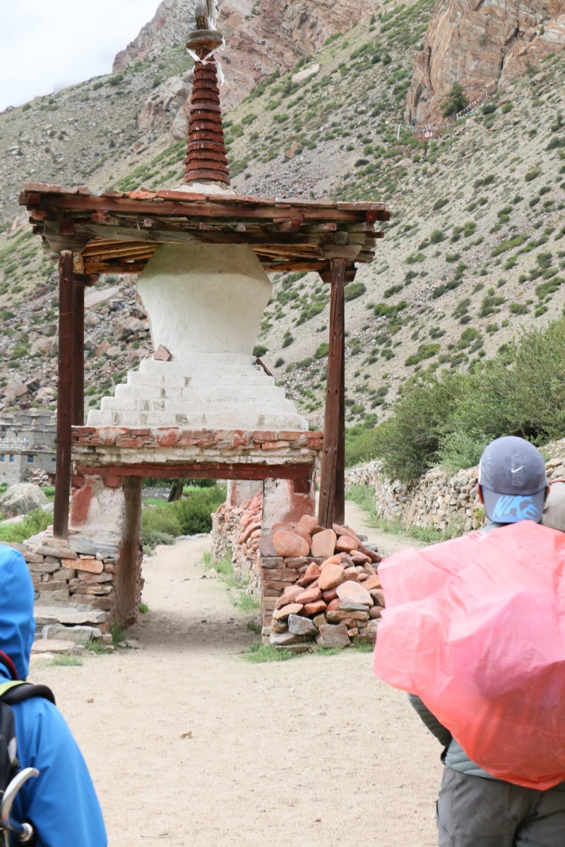
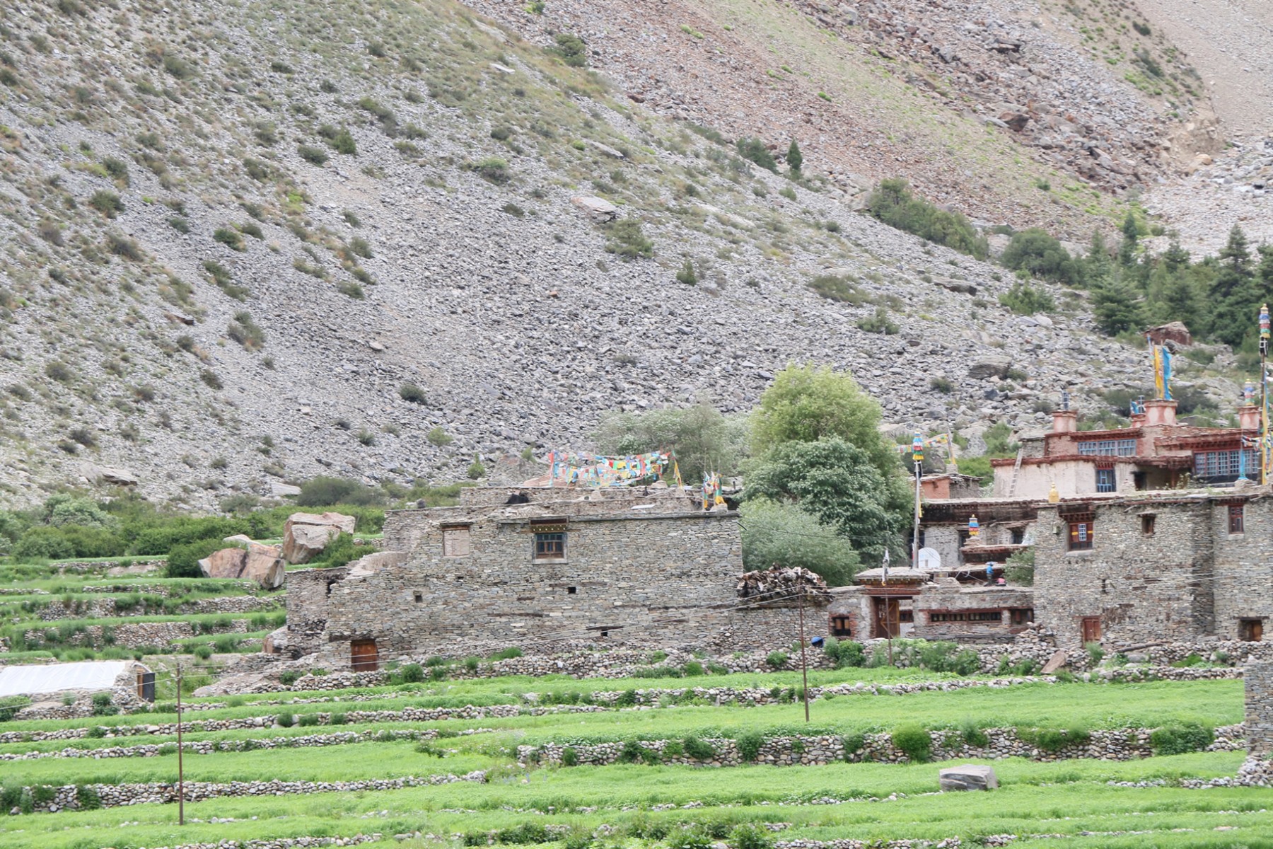
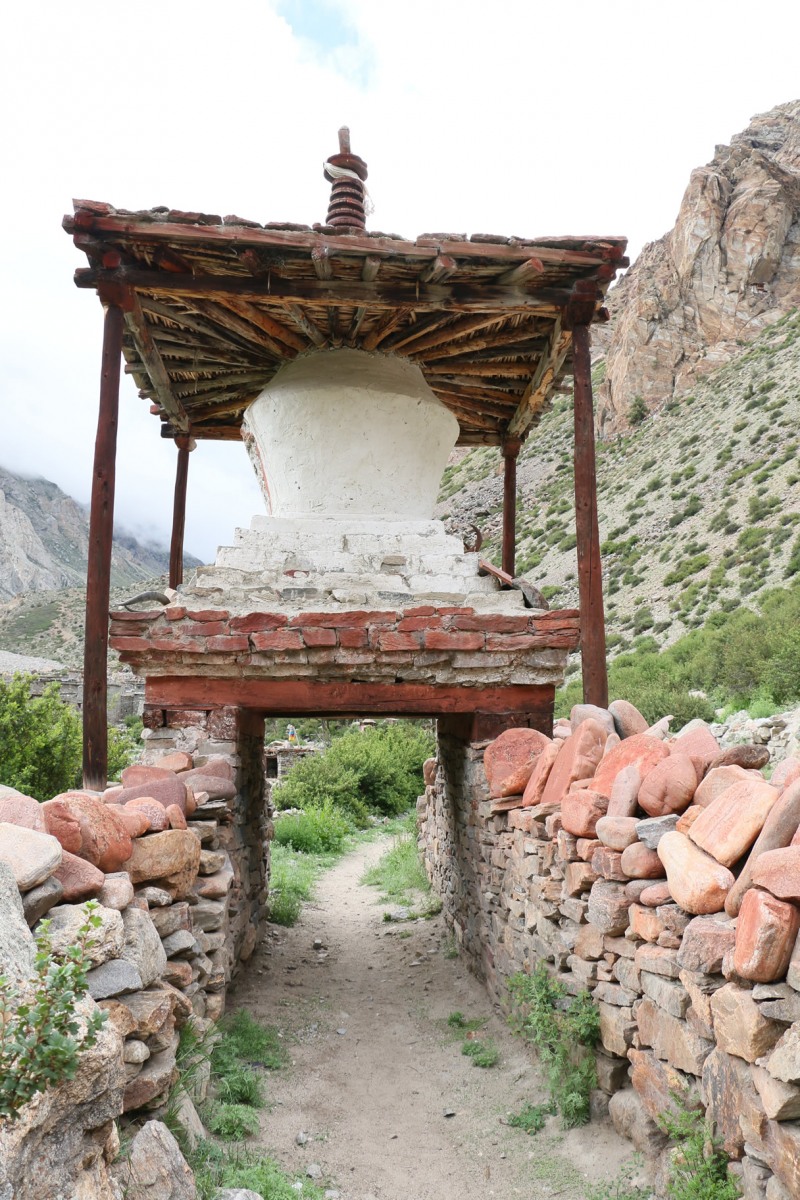
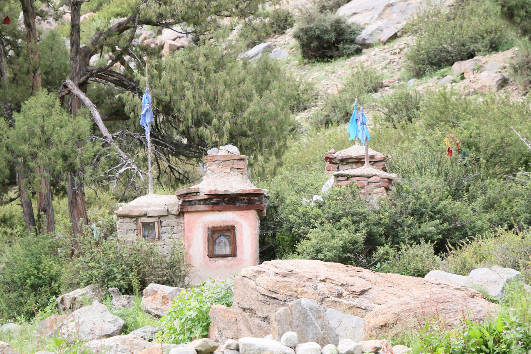
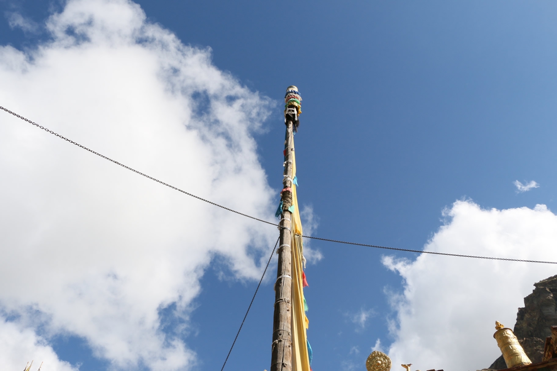
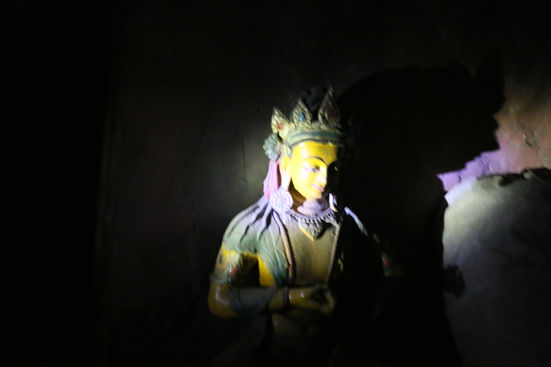
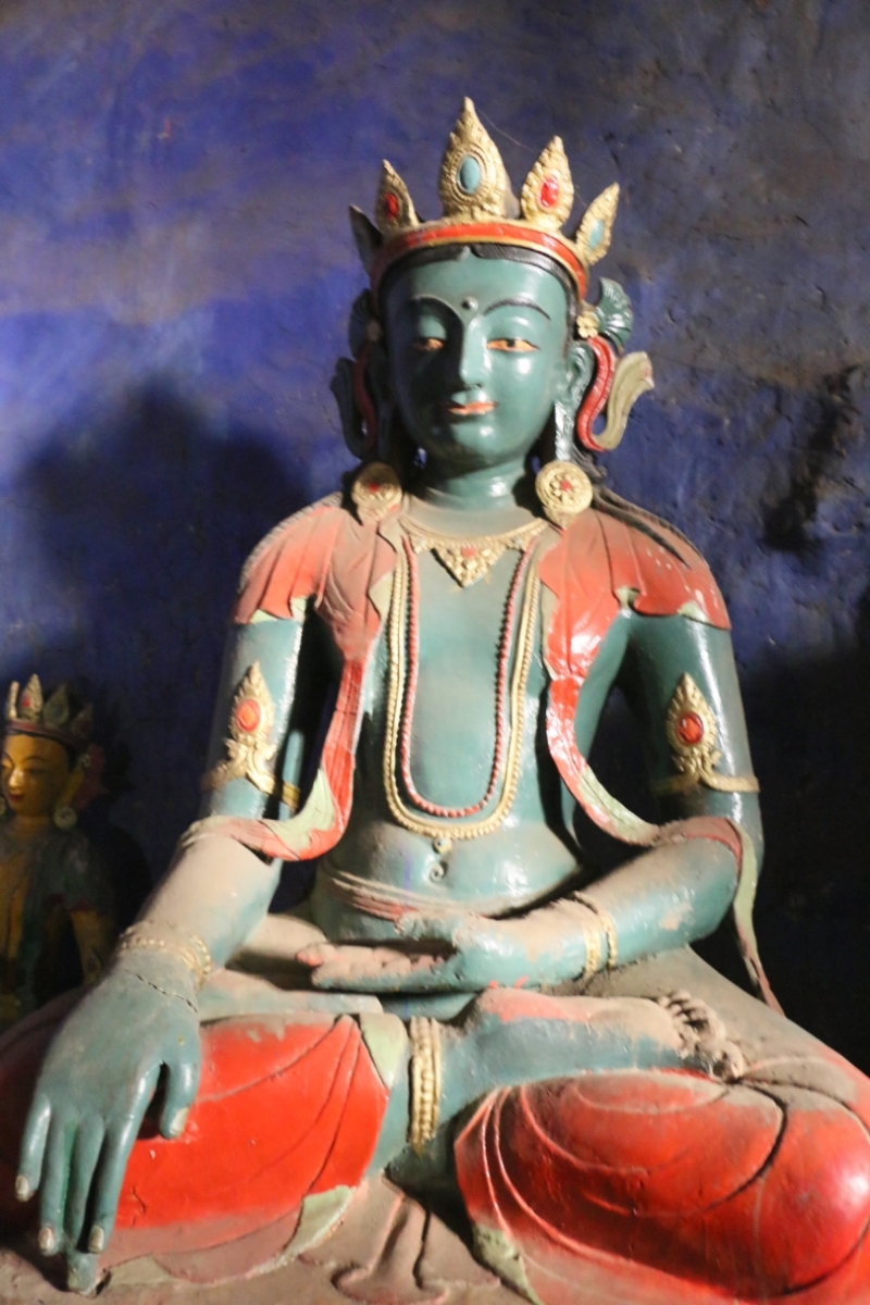
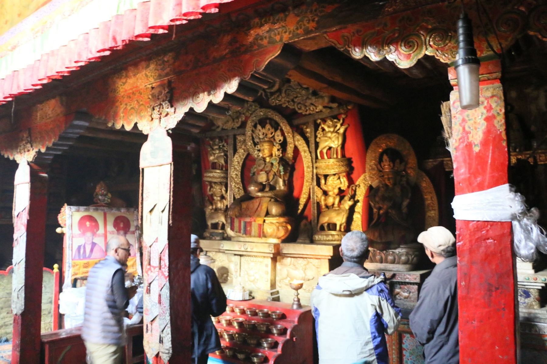
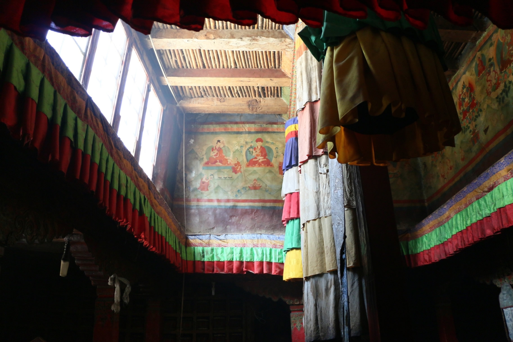
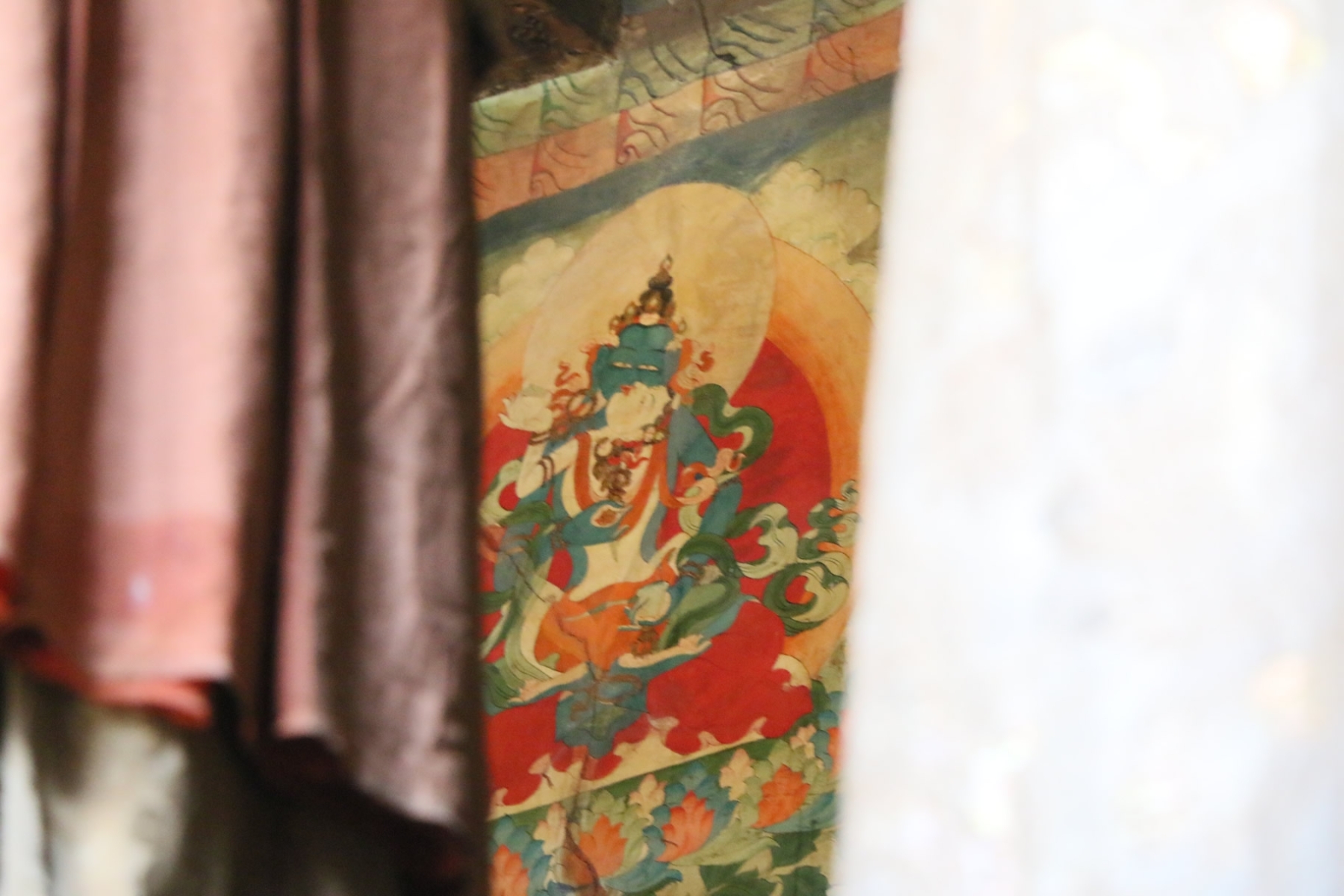
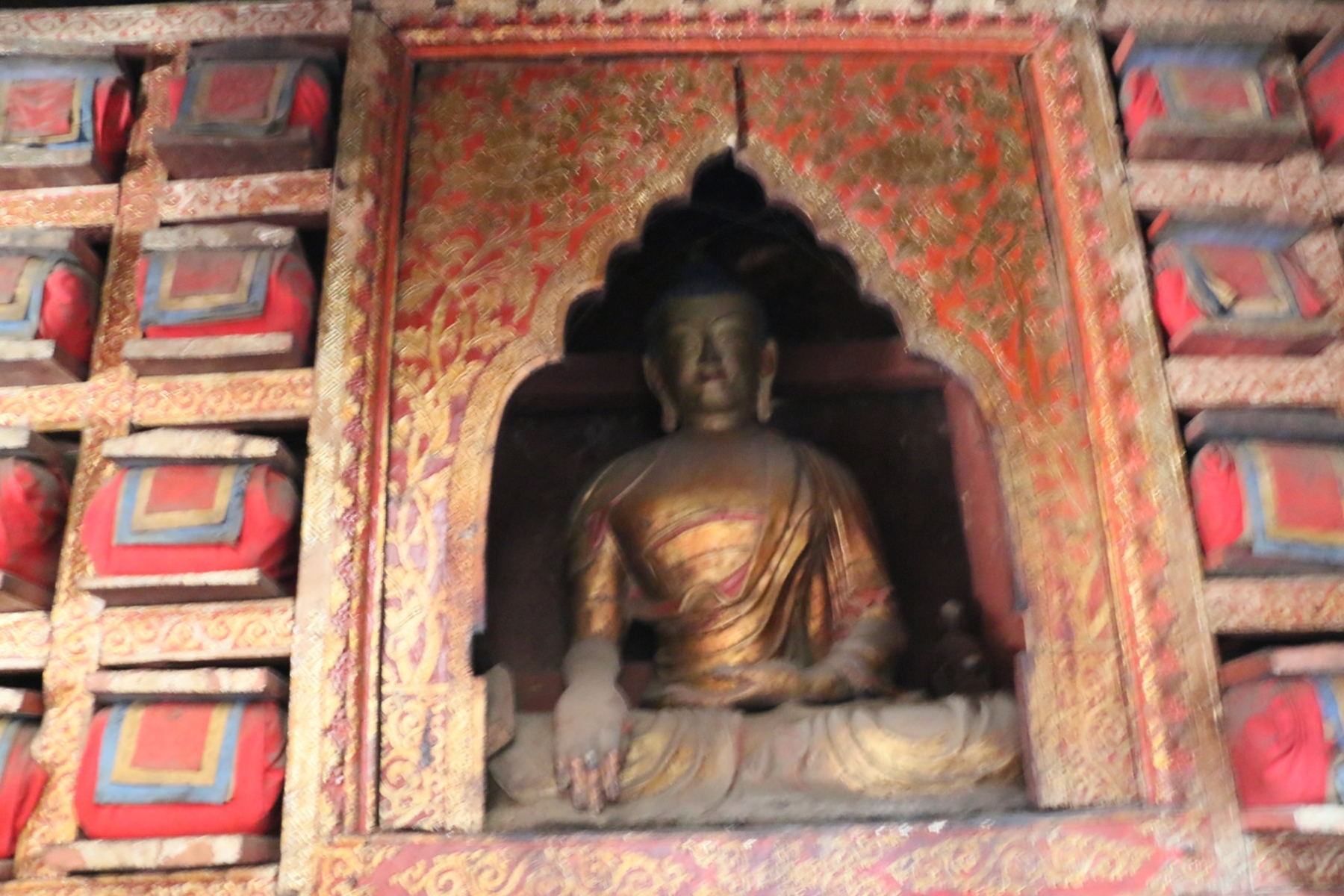
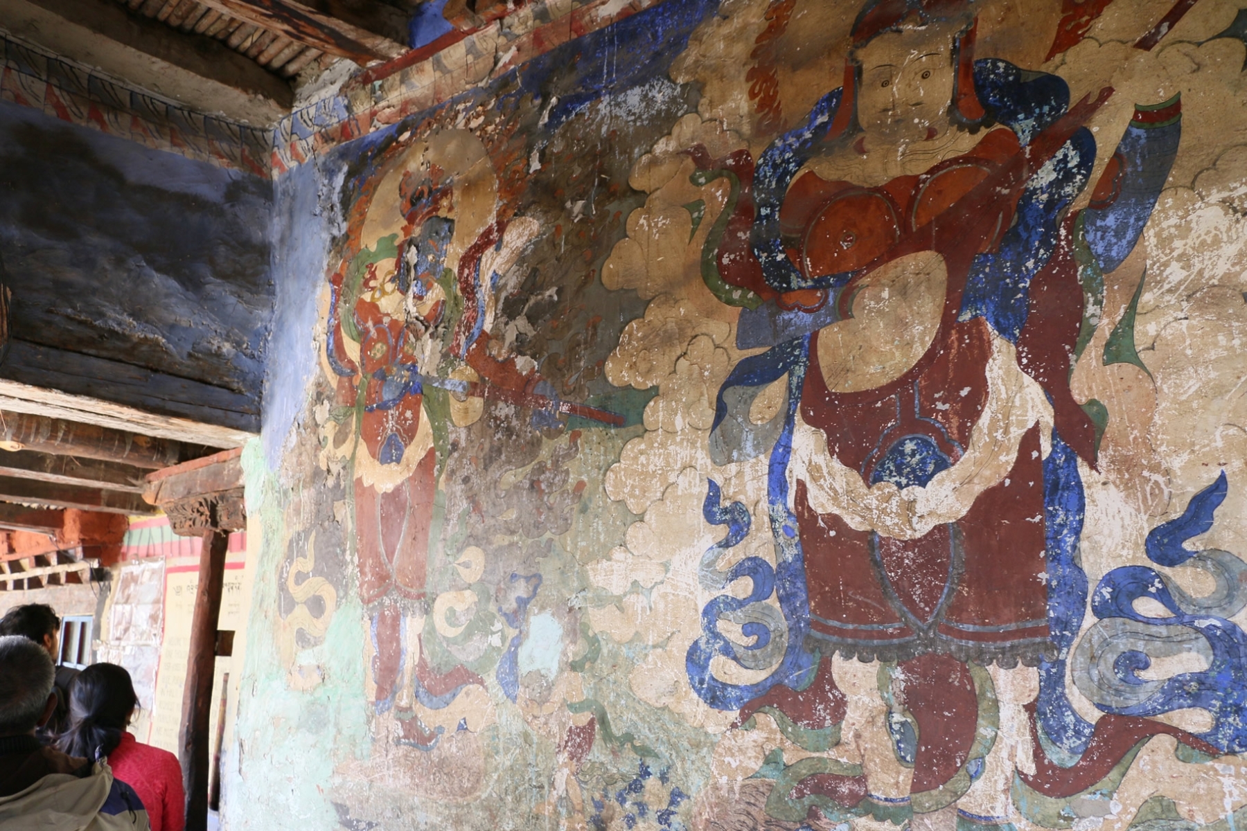
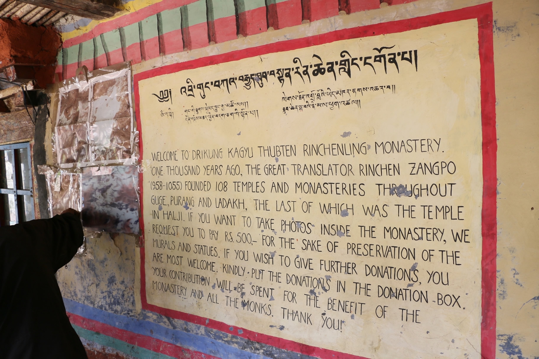
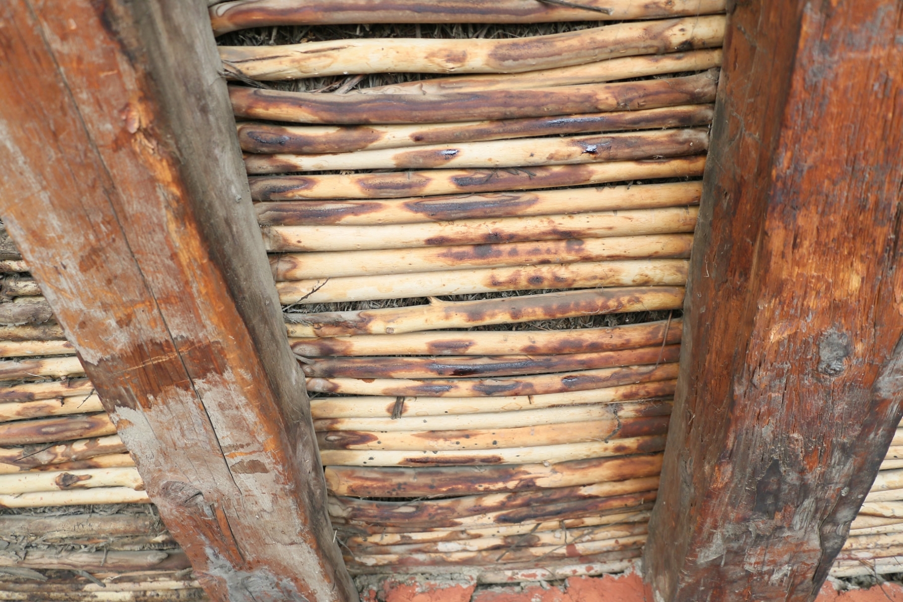
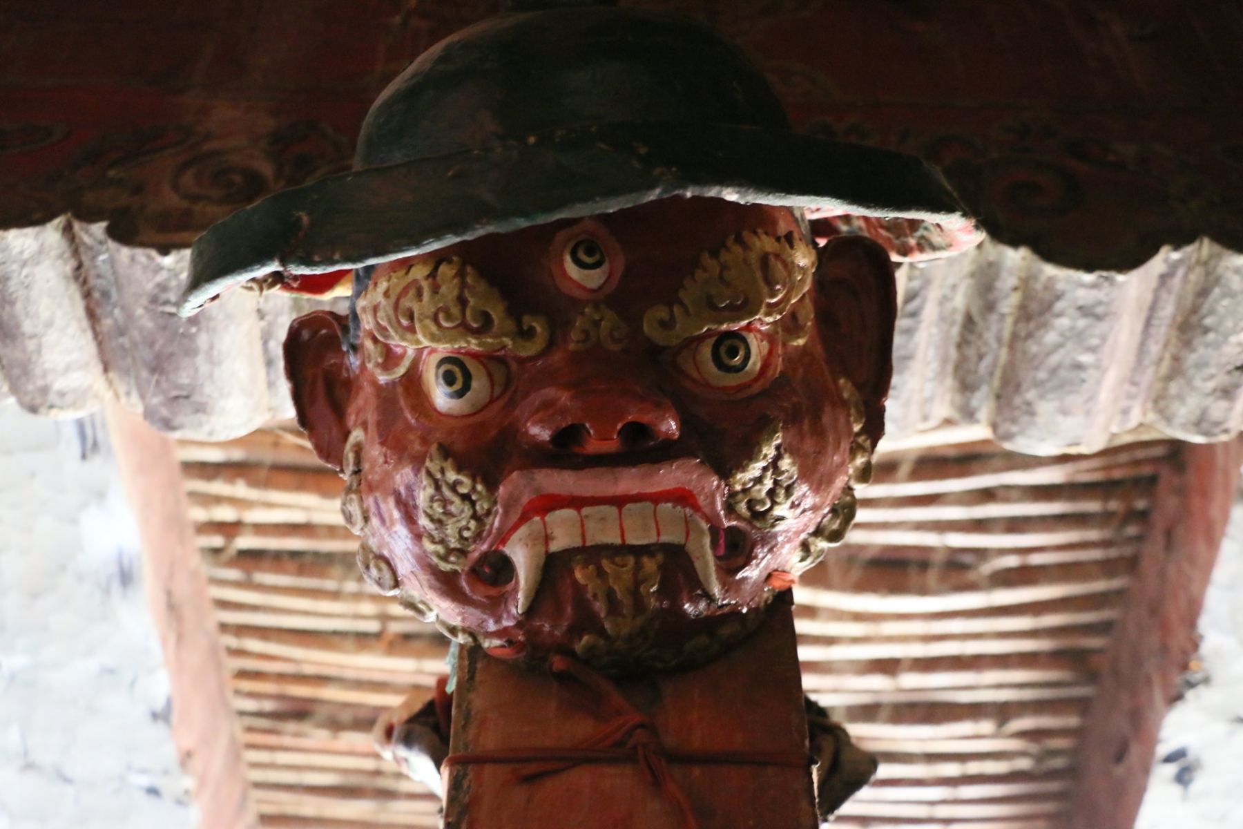
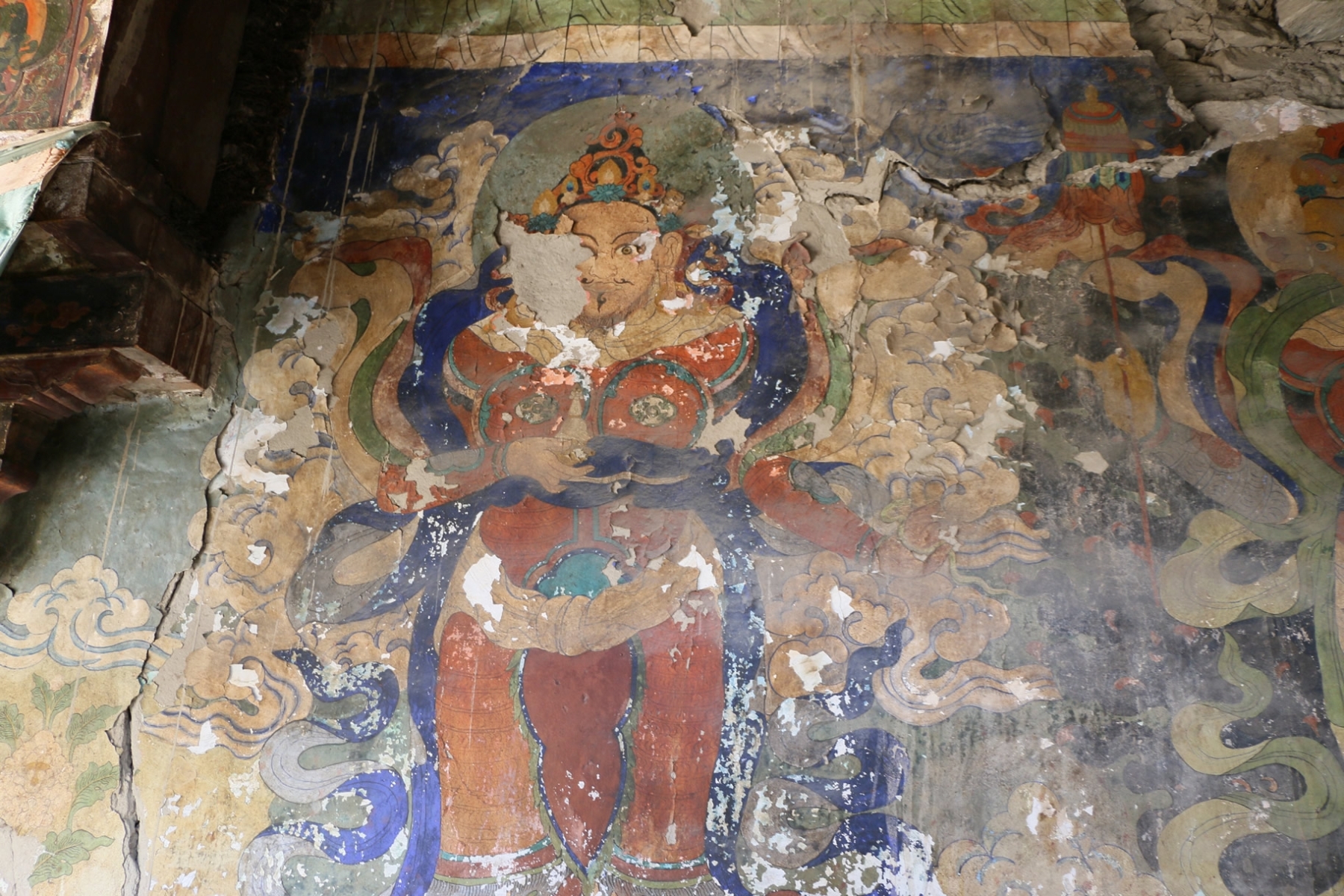
Humla and Limi Valley

The map above shows the location of Humla in relation to the surrounding areas of Nepal, Tibet and India. The areas outlined in pink reflect the boundaries of Nepal’s various political Districts, with the far northern and western lines following the borders of Nepal.

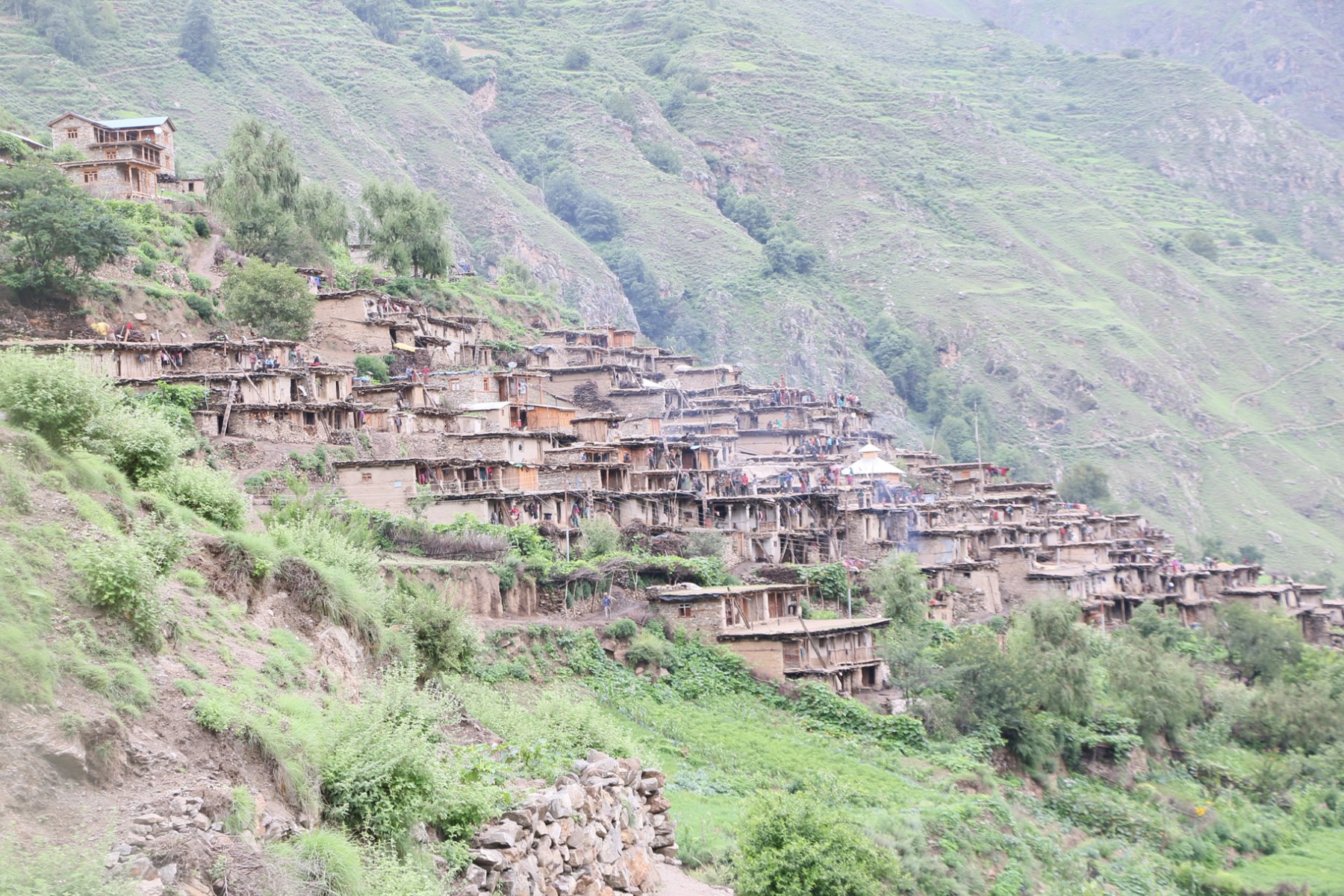
Humla Development District

Map of Political Districts in Humla, Nepal.