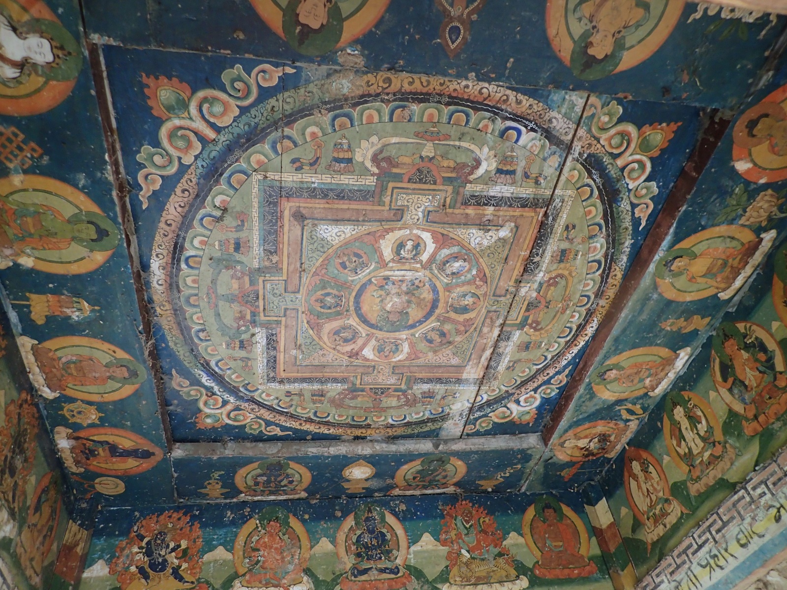
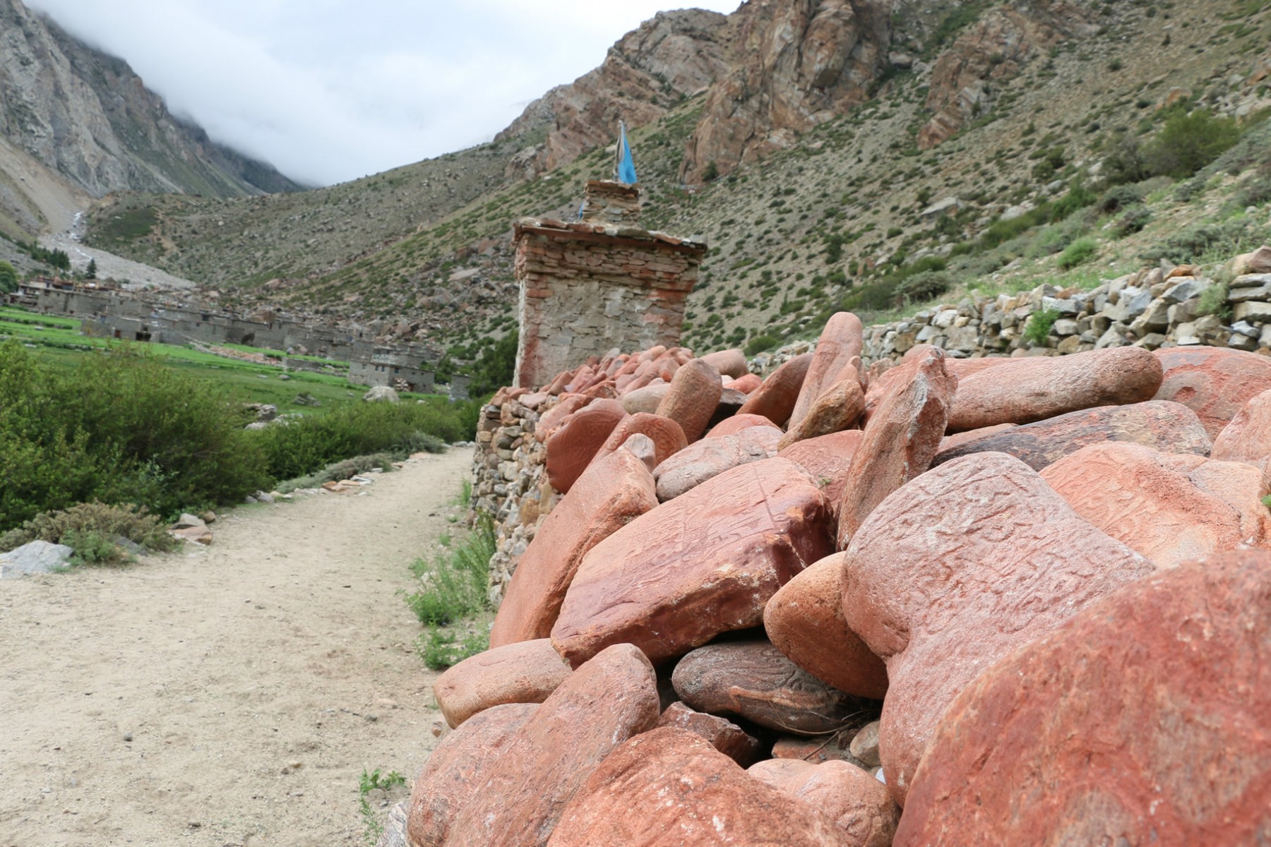
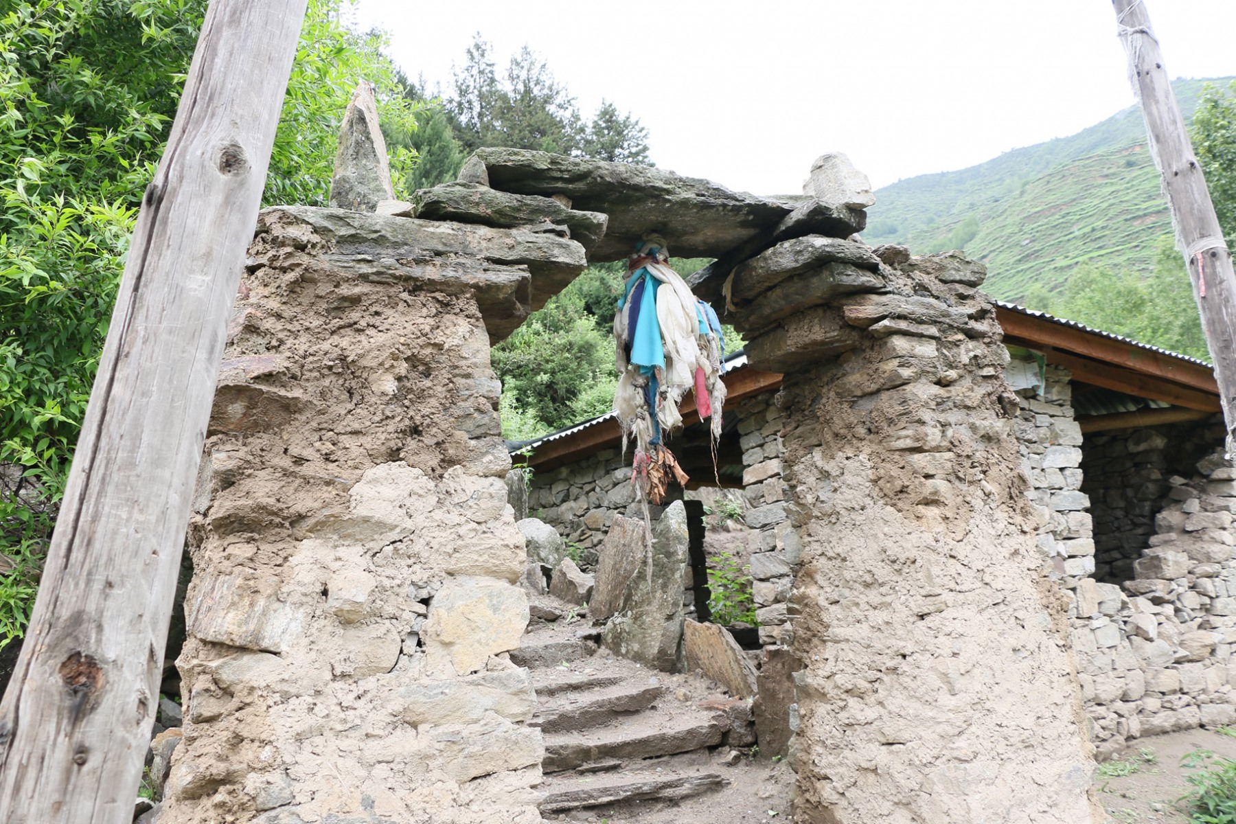
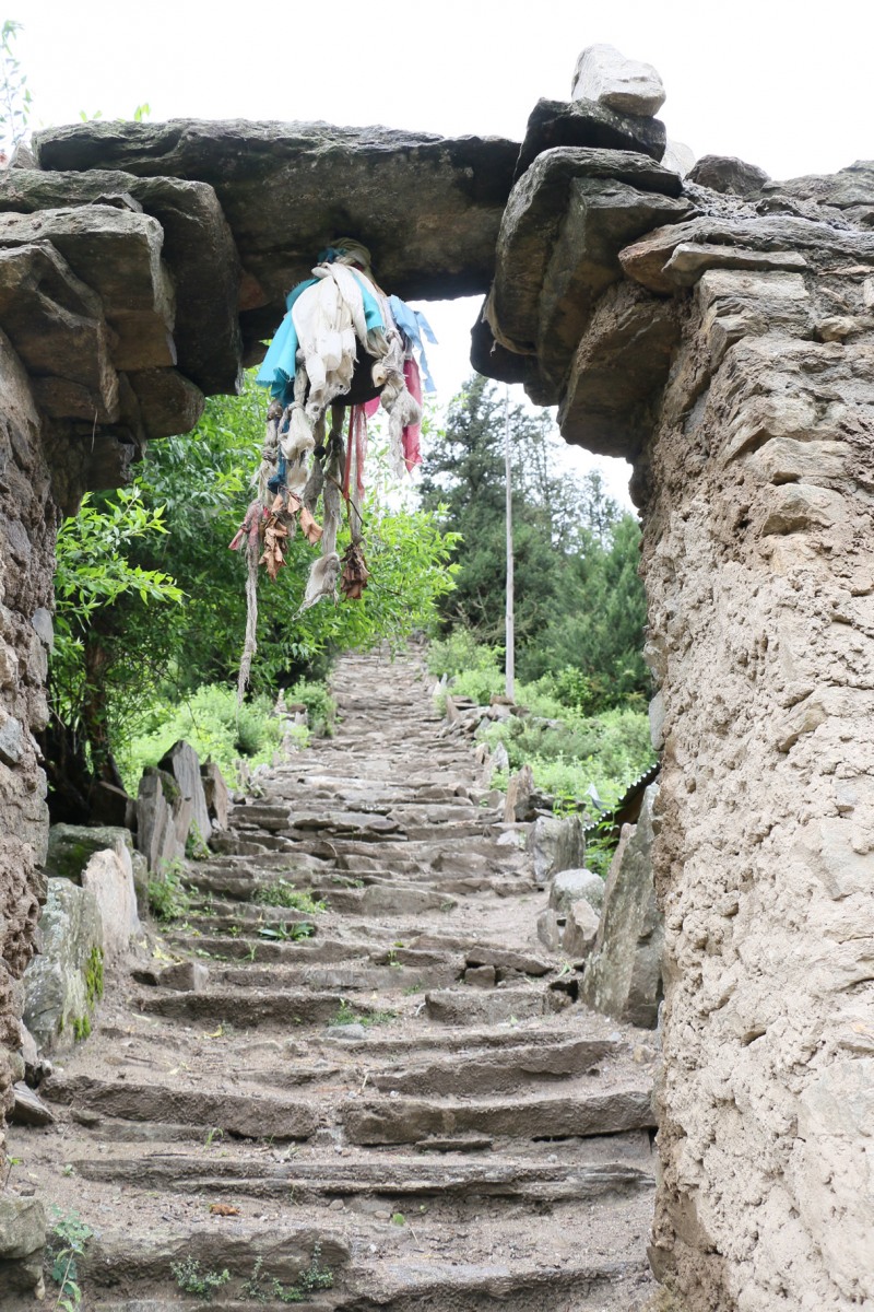
The term Kailash Sacred Landscapes (KSL) refers to an area of the Himalayas which includes western Nepal, northwestern India and western Tibet, a geographic area with important ties to a sacred mountain in Tibet known as Mount Kailash (also Kailas, Tise, Gang Rinpoche). Learn more about the spelling and history here. The specific term KSL was coined by the International Centre for Integrated Mountain Development (ICIMOD) in the mid-2000s as part of a multinational development initiative known as the Kailash Sacred Landscape Conservation and Development Initiative (KSLCDI). You can learn more about that project on the ICIMOD website, which describes the emphasis of their work as follows:
The Kailash Sacred Landscape Conservation and Development Initiative (KSLCDI) is a collaborative programme being implemented across the borders of China, India, and Nepal. As such, KSLCDI transcends geographical boundaries, and has evolved through a participatory and iterative process into a transboundary initiative. It involves various local and national research and development institutions working in different capacities in various regions of the three countries.
The programme aims to achieve long-term conservation of ecosystems, habitats and biodiversity, while encouraging sustainable development, enhancing the resilience of communities in the landscape, and safeguarding cultural linkages among local populations.
Below is a map of the area defined by ICIMOD as the Kailash Sacred Landscape.

You can also find an interactive version of this map with more features on the ICIMOD KSL page. In addition, ICIMOD has been working with a number of local communities and partners to document the many important natural, cultural and religious sites within the larger KSL area. One result of that work is the map below.

ICIMOD has also produced a nice short video highlighting some of their work already done under the KSLCDI, so please take a look.