This site has been a multi-year work in progress, with early ideas developed back in 2013 when the original Sacred Himalaya Initiative was first being developed. At that time, one of the original objectives for the project was to “apply this field based research to the design of an interactive “Sacred Landscape Mapper” that can help scholars, students and policymakers visualize how diverse Himalayan communities understand and express the concept of a sacred landscape.” Specifically, we envisioned a site that would fuse field research, textual and geospatial data.
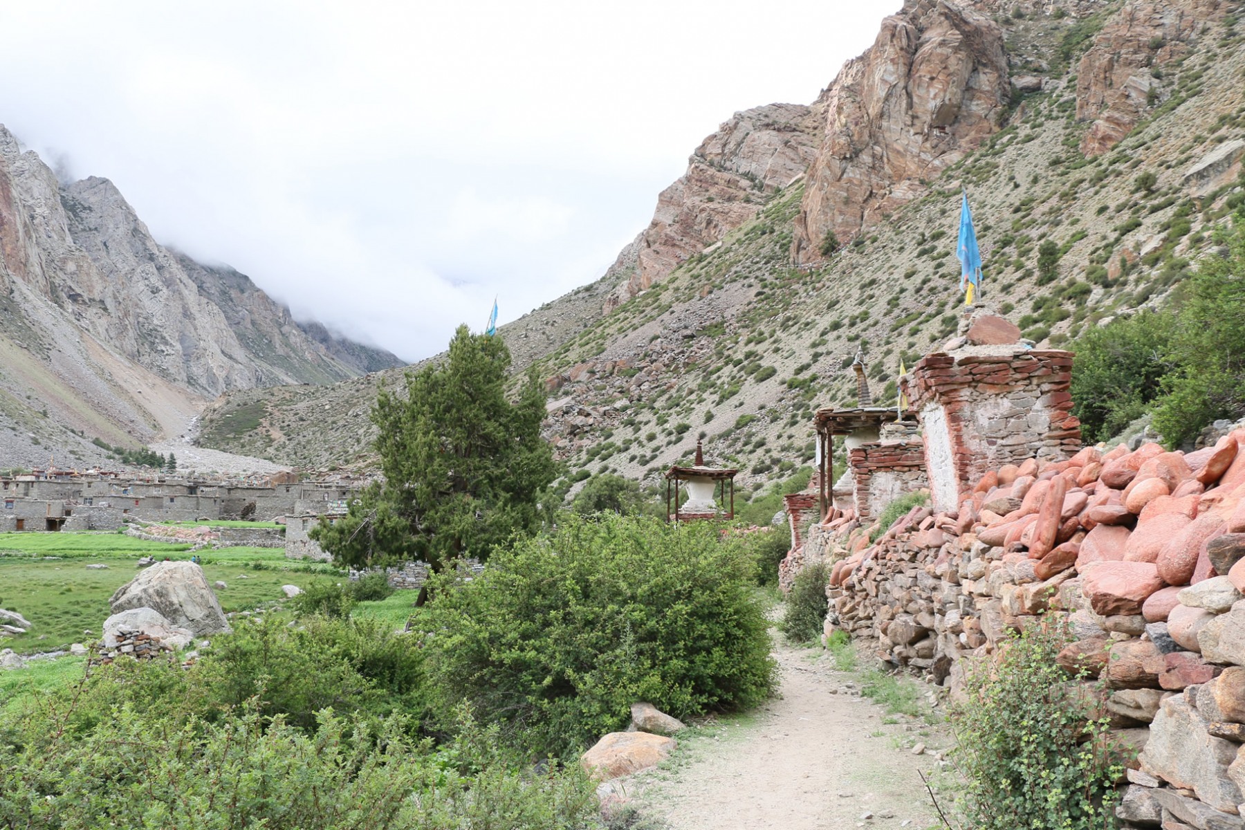
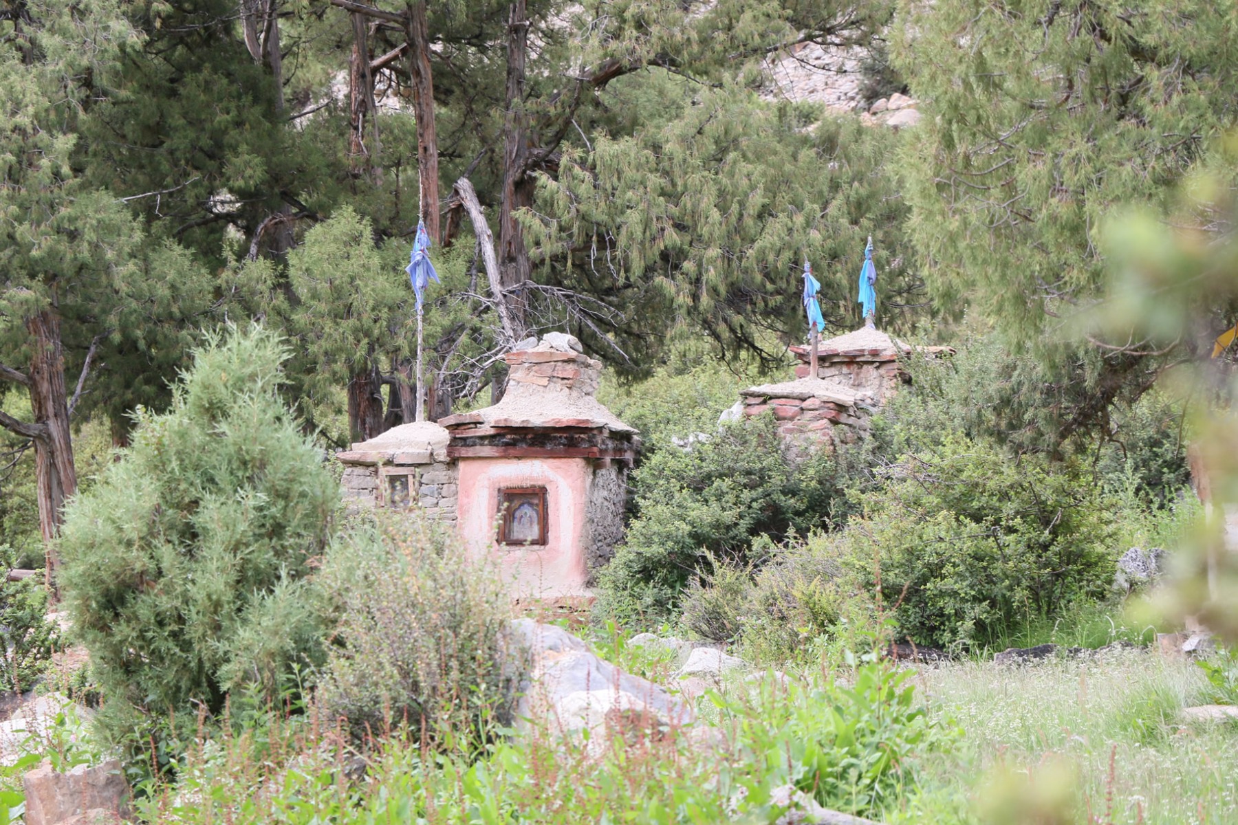
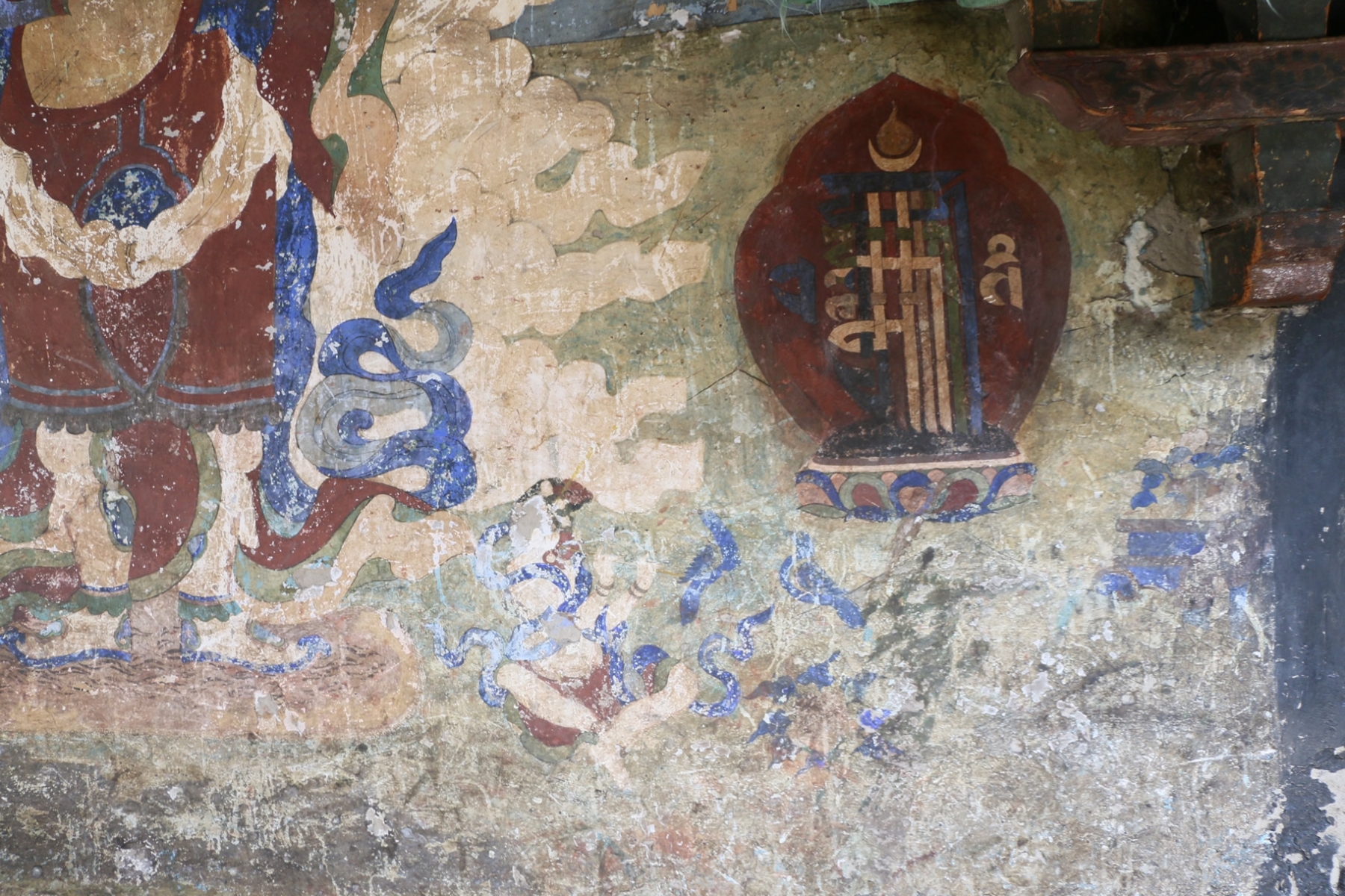
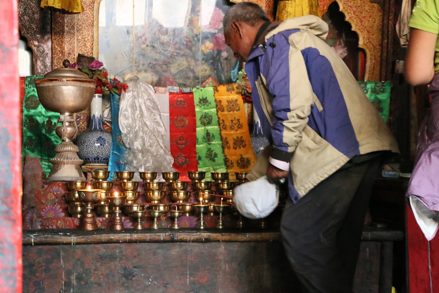
An innovative and interactive sacred landscape mapping resource (Sacred Landscape Mapper) that scholars can use to map sacred landscapes within the KSL region, as well as house relevant information, analysis and findings from the action-research project concerning sacred landscapes. This will serve as a one-of-a-kind resource for scholars, policymakers and the general public…In addition to providing an innovative, design-centered visual map of the textual data, the Sacred Landscape Mapper incorporates a second, highly interactive mapping component driven by ArcGIS geospatial data. This second component will allow for the physical features and aspects of the sacred landscape to be mapped and documented alongside the narrative and discursive aspects. This additional data presentation method allows scholars and policymakers to engage with the data in meaningful ways that can be easily navigated through a web interface. In terms of actual deployment, this will be similar to how someone uses Google Earth or comparable digital mapping applications, except that the available layers and rich media will focus on the sacred landscape and its constituent parts (pilgrimage routes, shrines, sacred groves, etc).
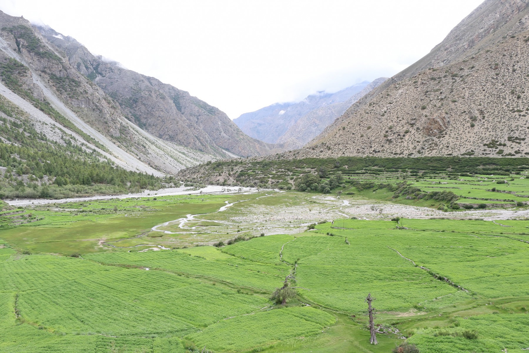
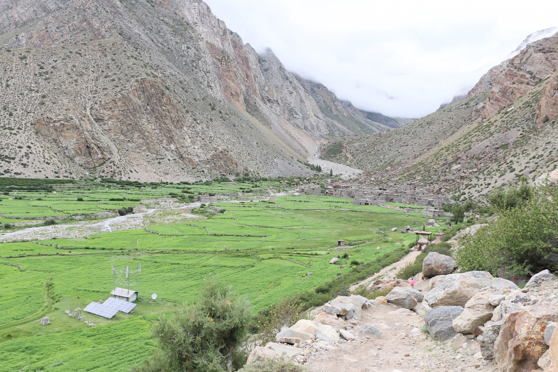
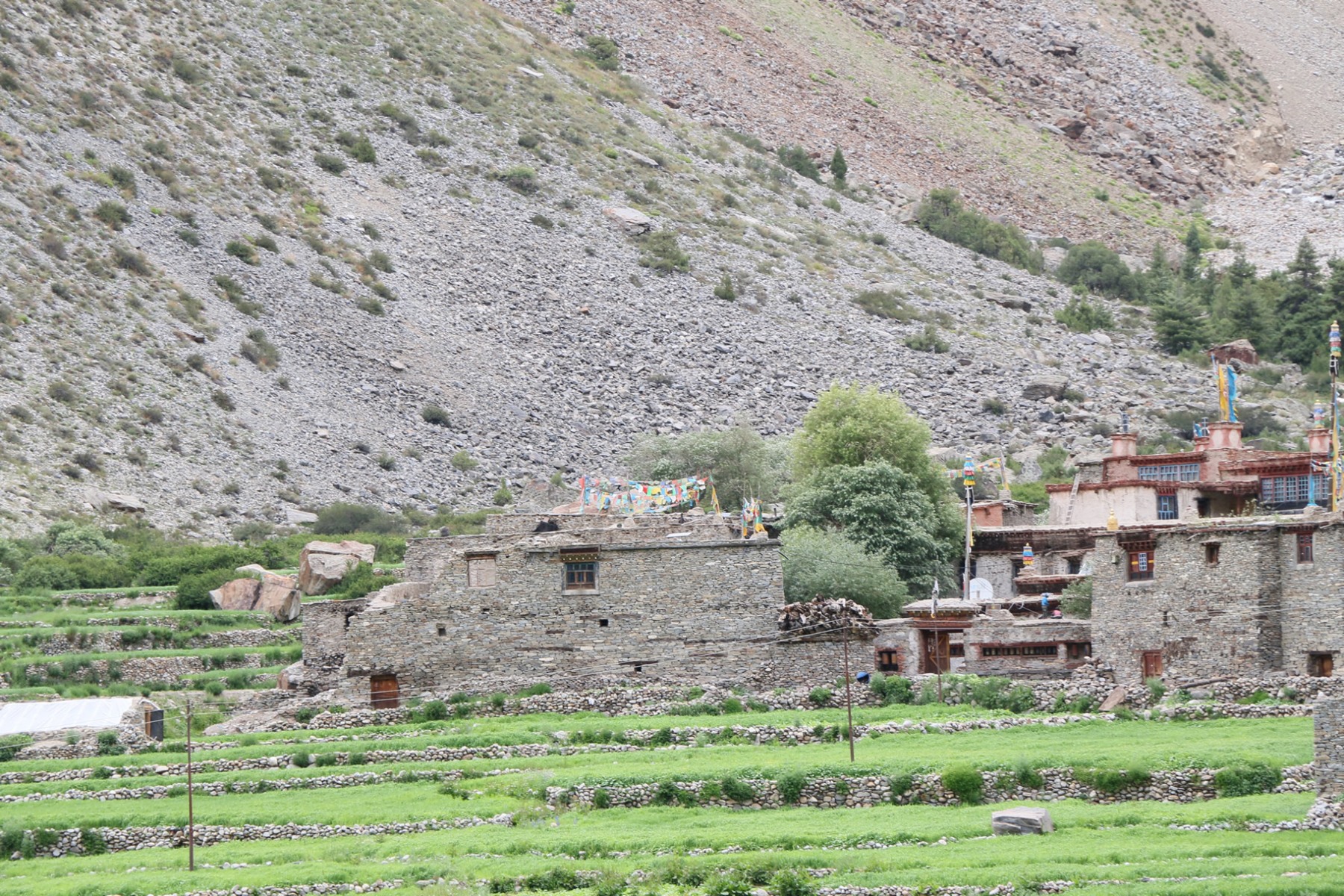
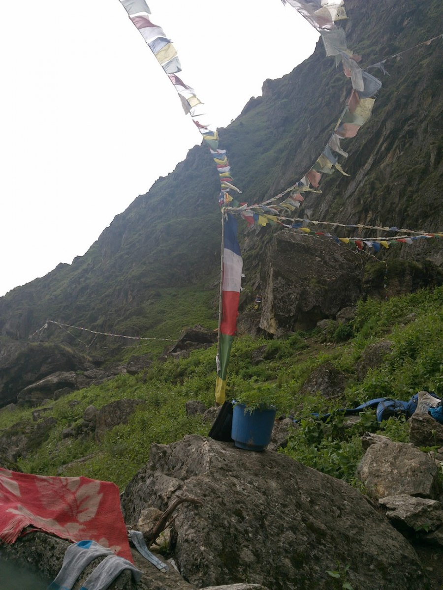
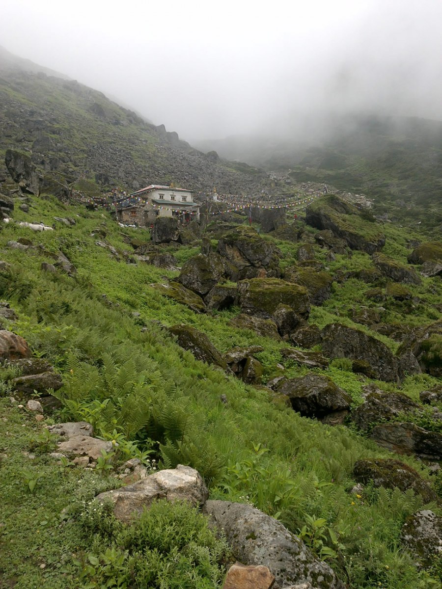
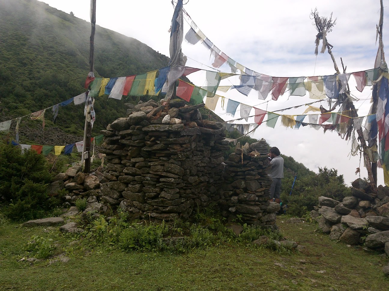
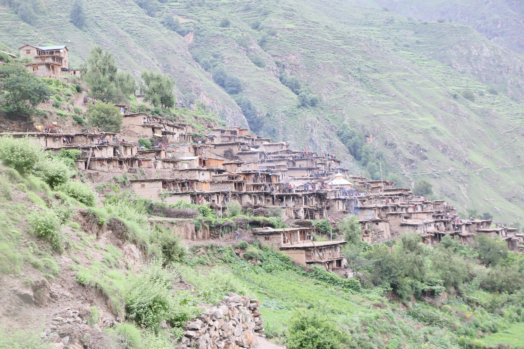
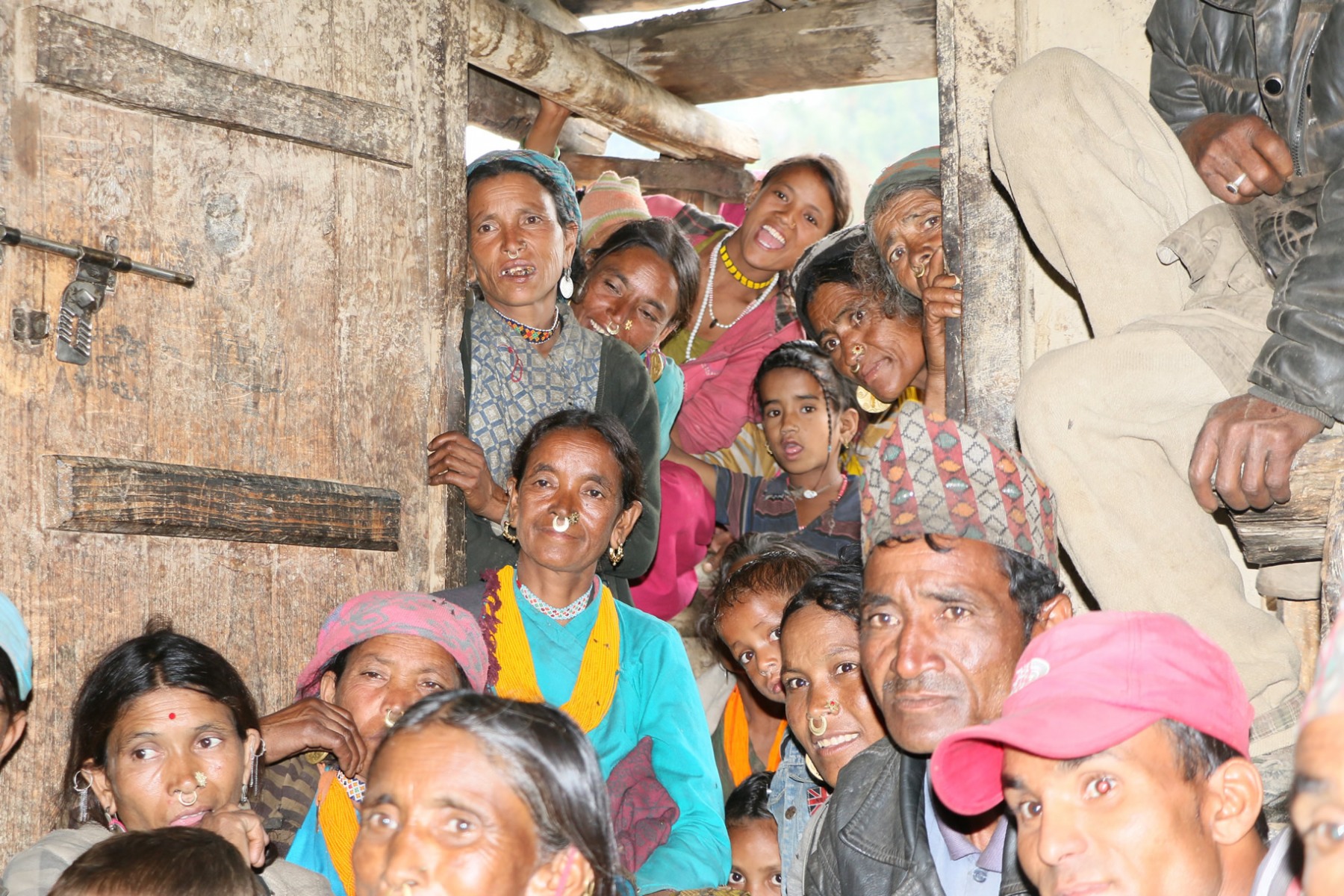
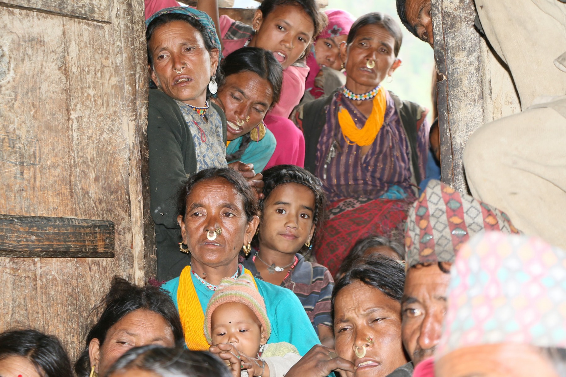
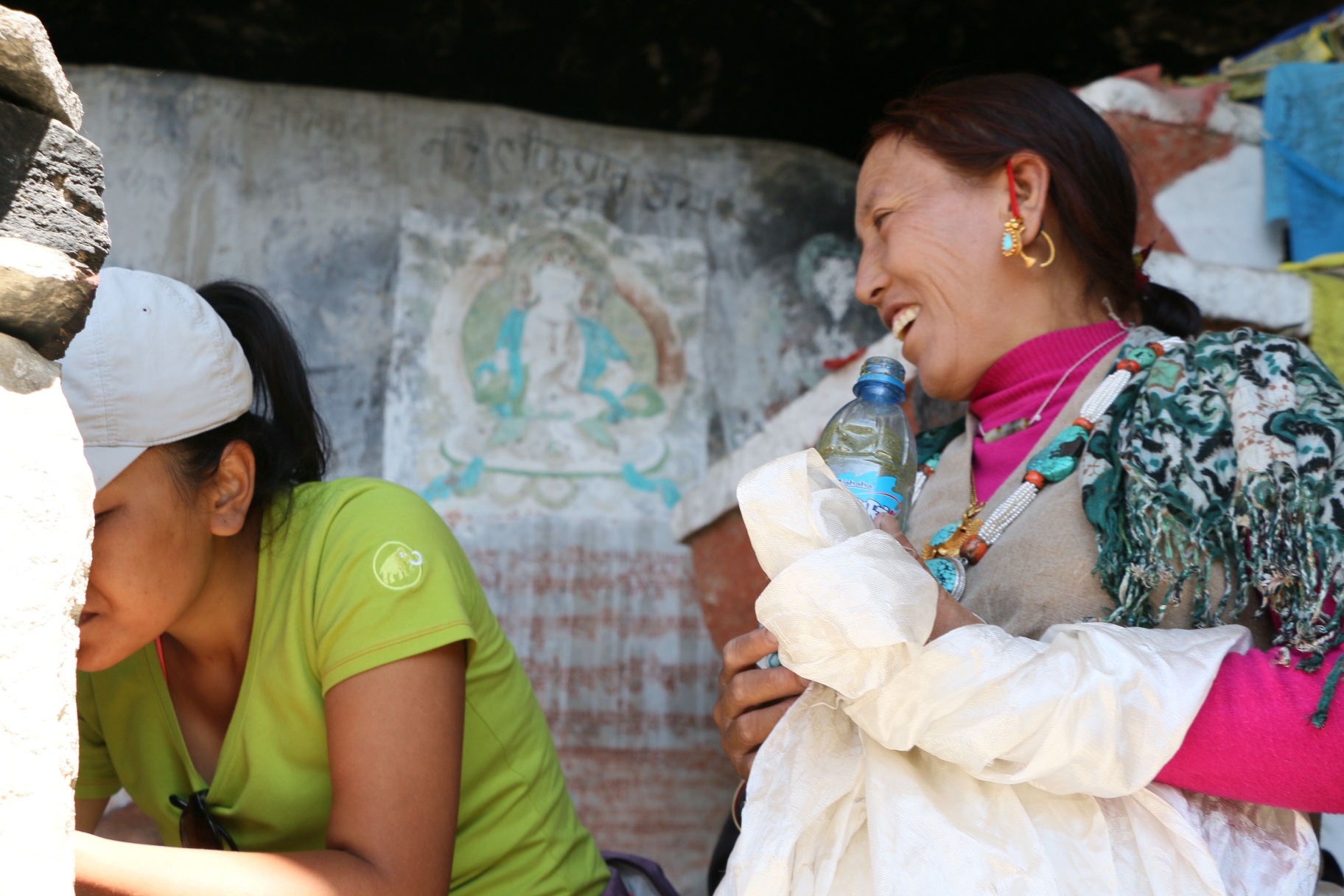
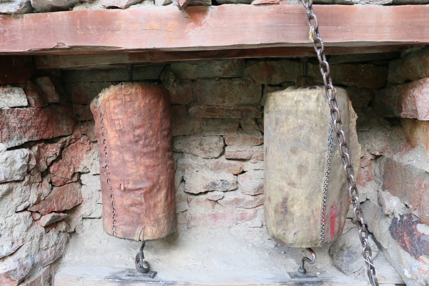
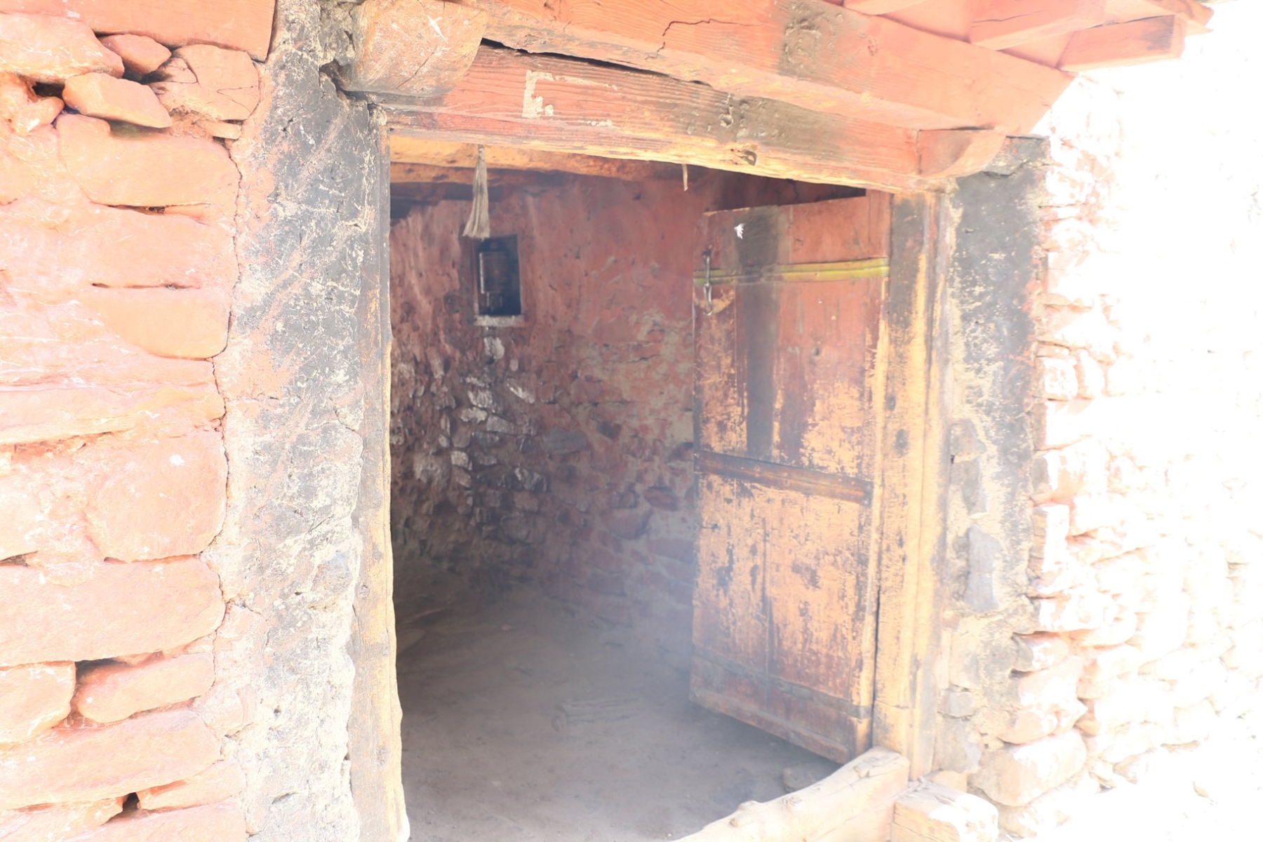
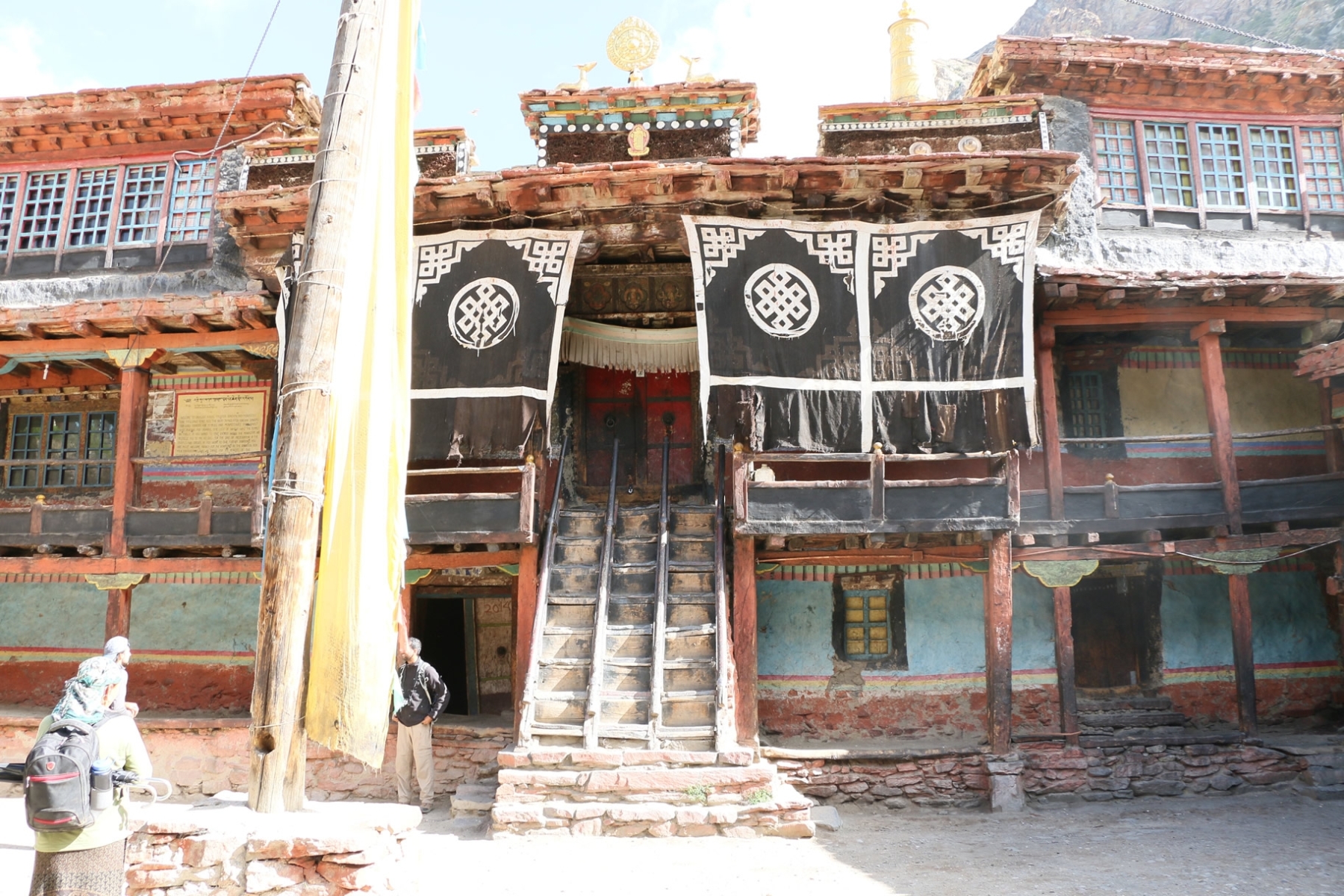
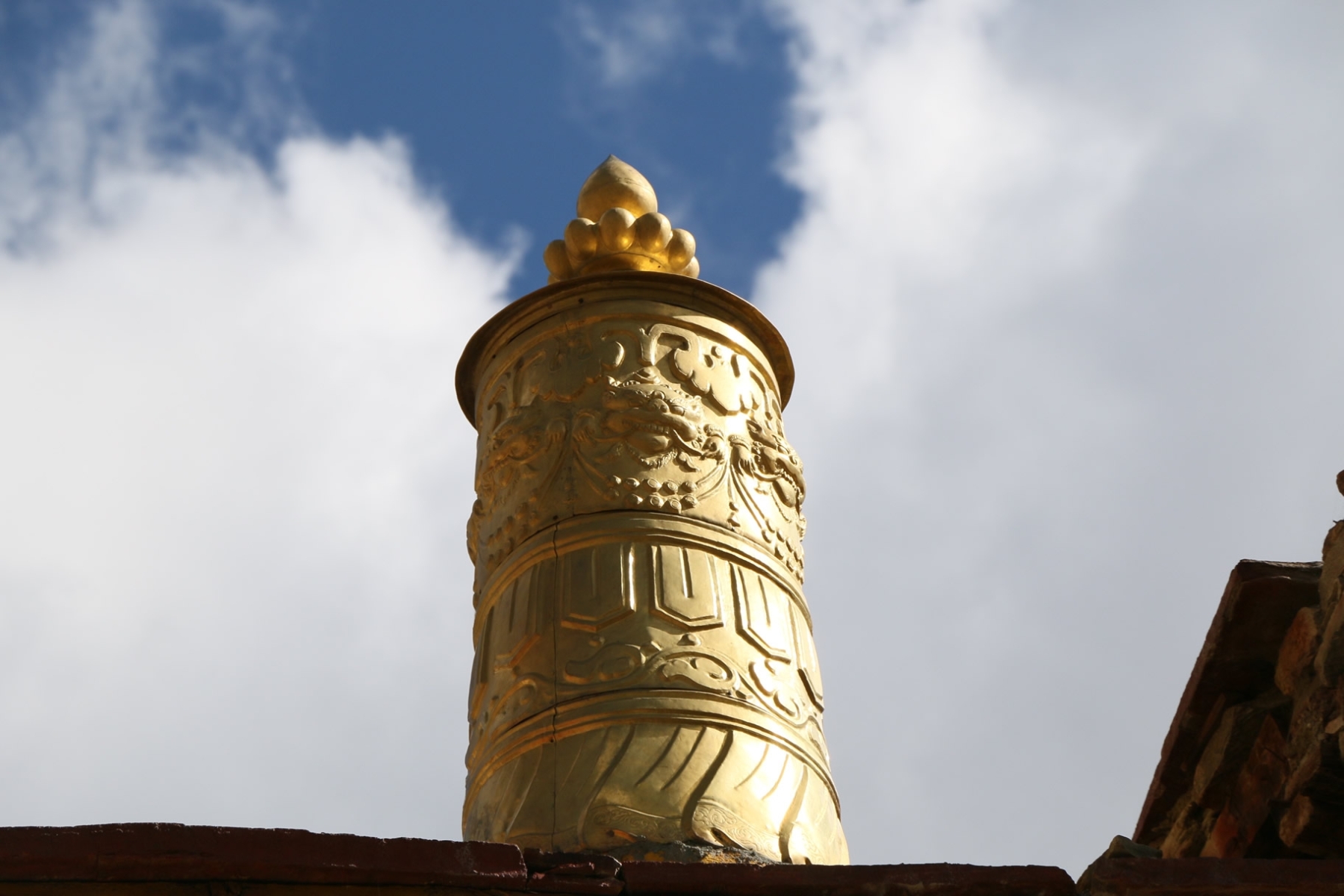
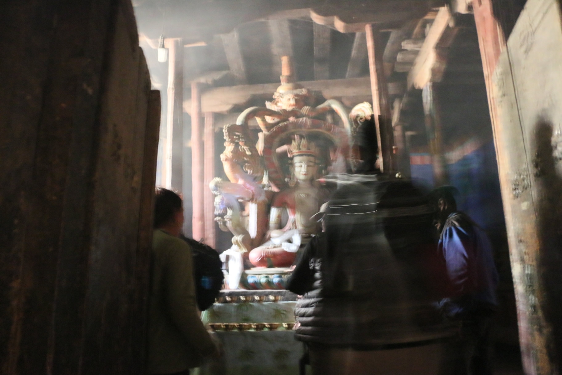
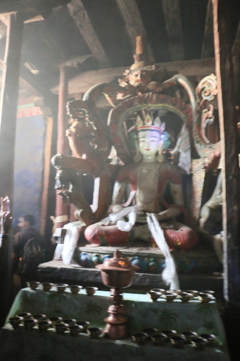
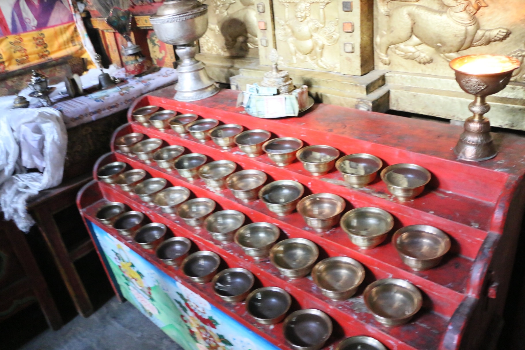
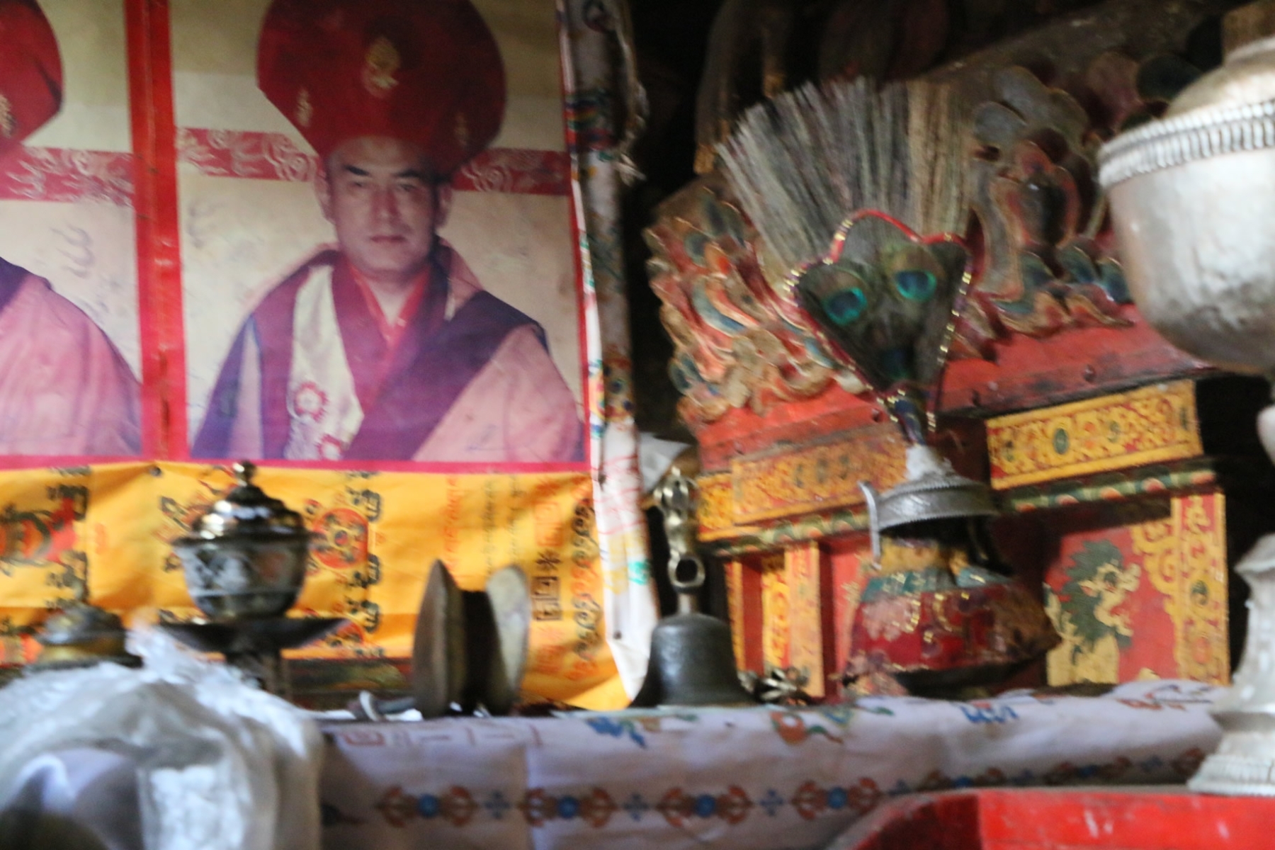
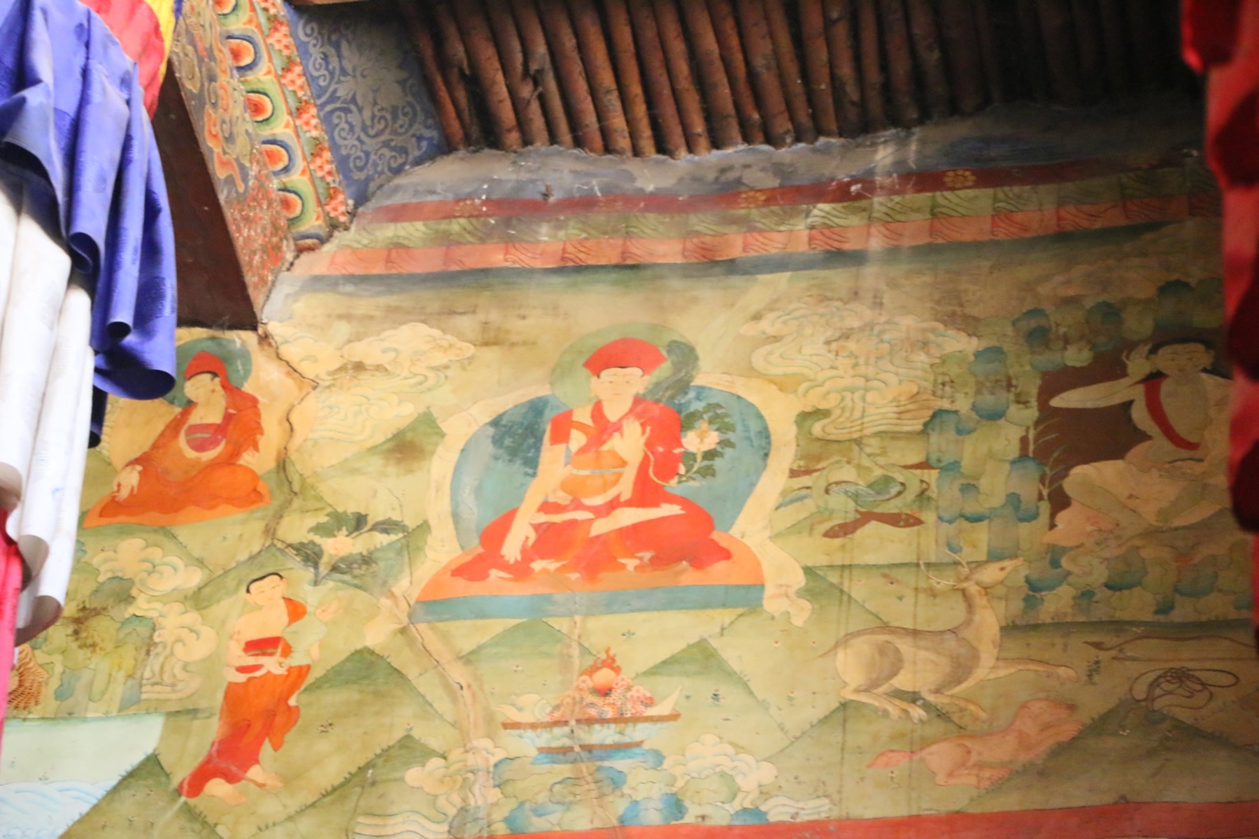
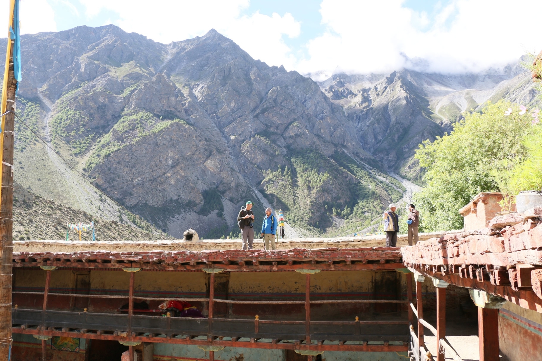
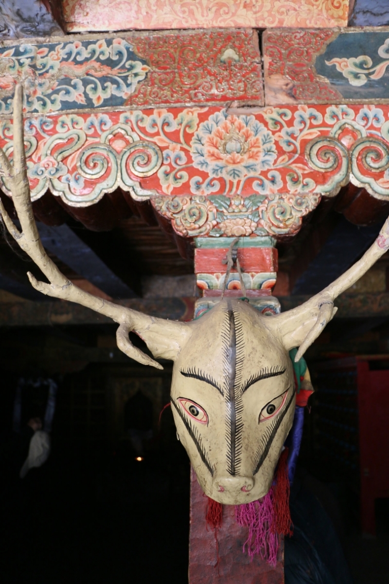
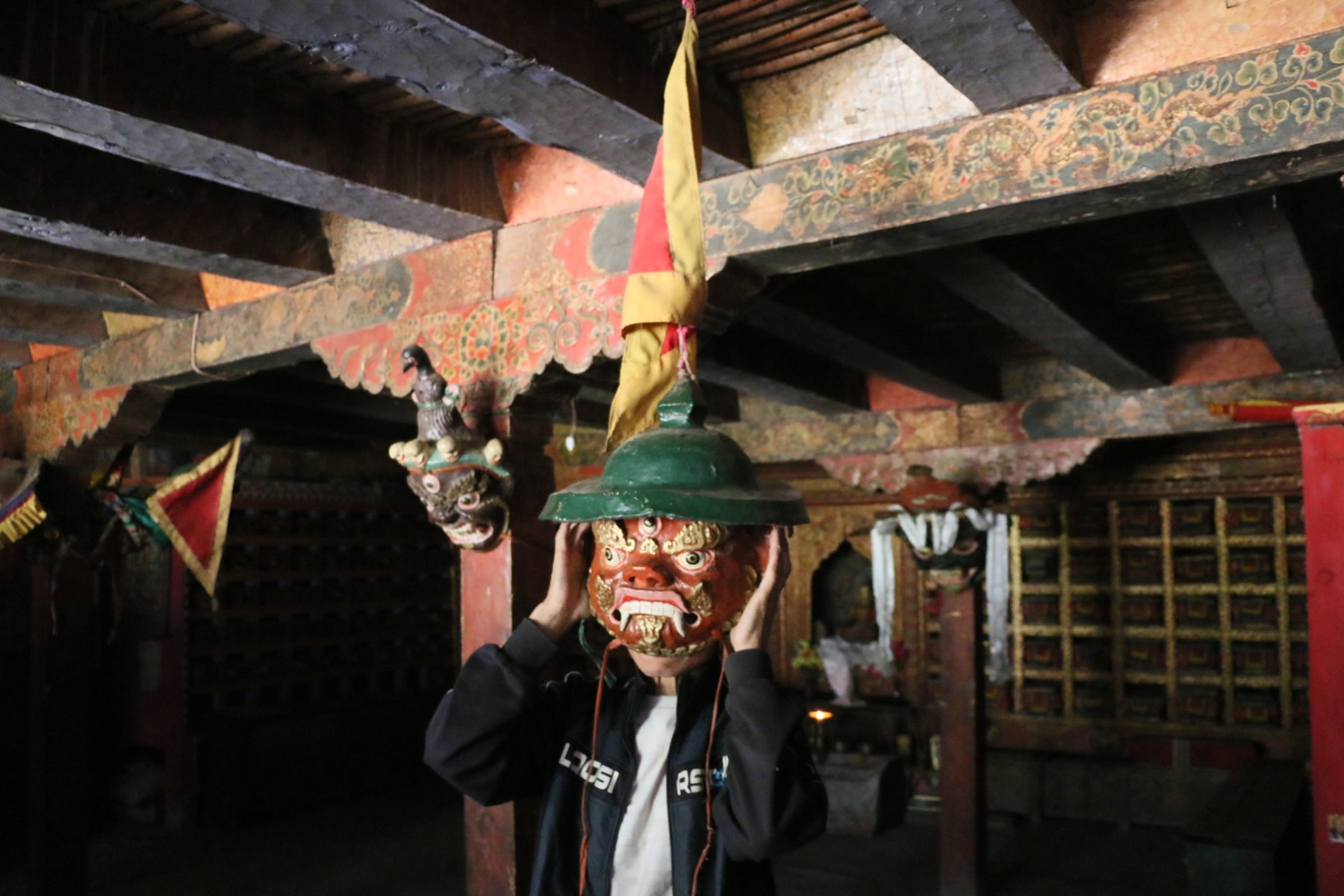
After the initial fieldwork began in 2014, it became clear that more work would be involved, that some of the more “big data” driven approach we had originally envisioned was unrealistic, and that more thought would have to go into how to develop an online space that could house all of the various content from the research project, as well as organize and present it in a way that could be useful to a wide range of audiences–from scholars and policymakers to trekkers and the general public–and that took into account the vagaries of fieldwork in the Himalayas. After two trips to the field, the idea of how to start mapping the sacred landscapes we were traversing in Nepal, India and Tibet began to become more clear.
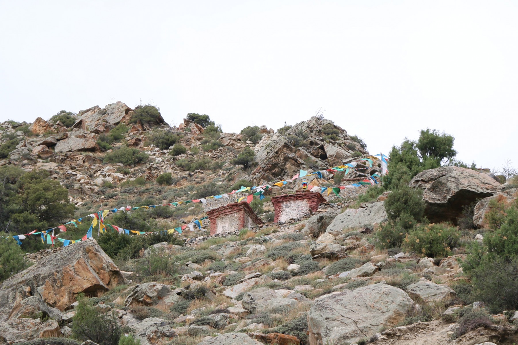
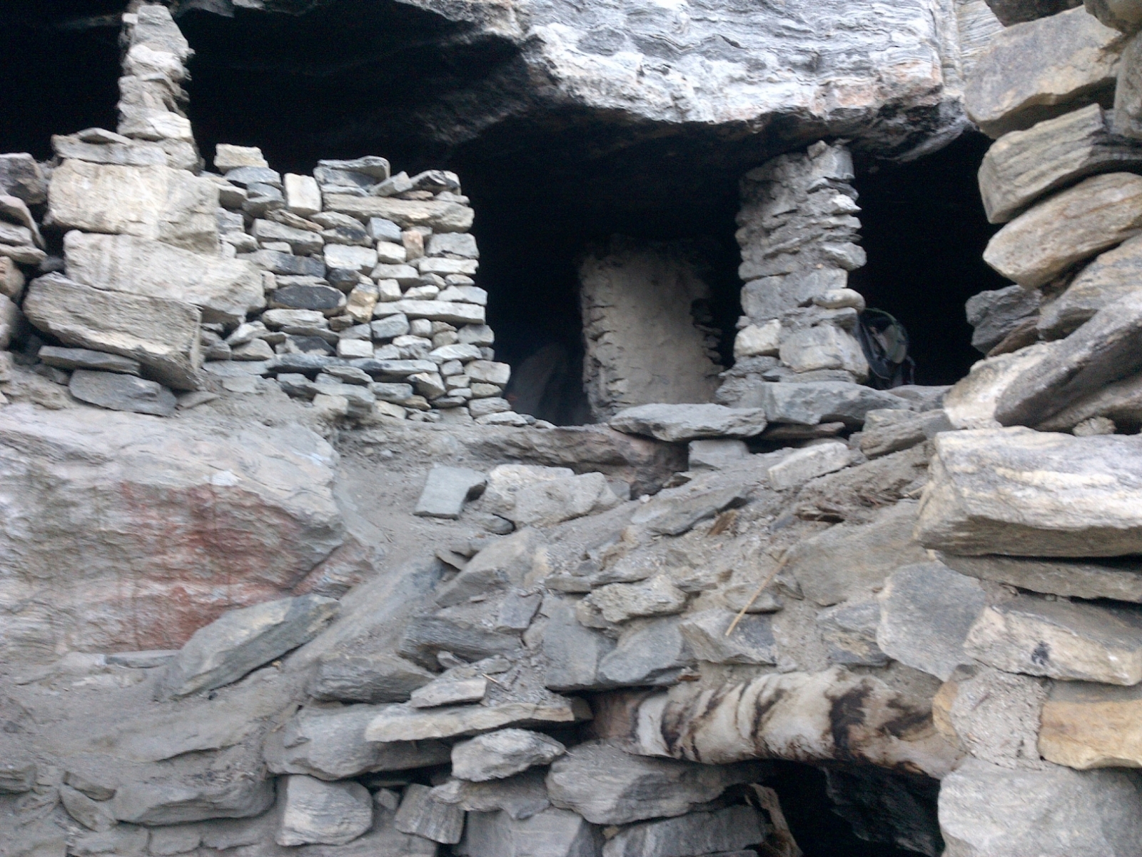
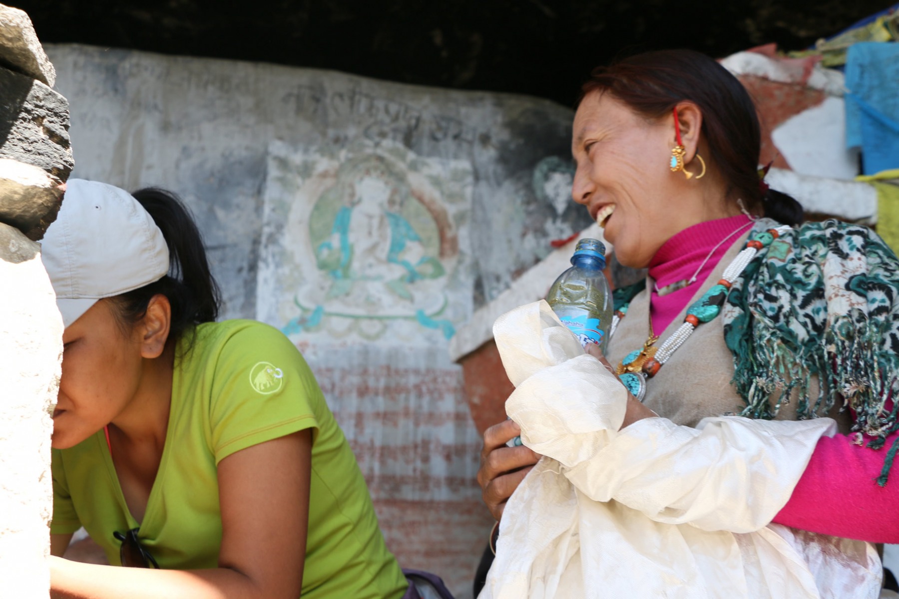
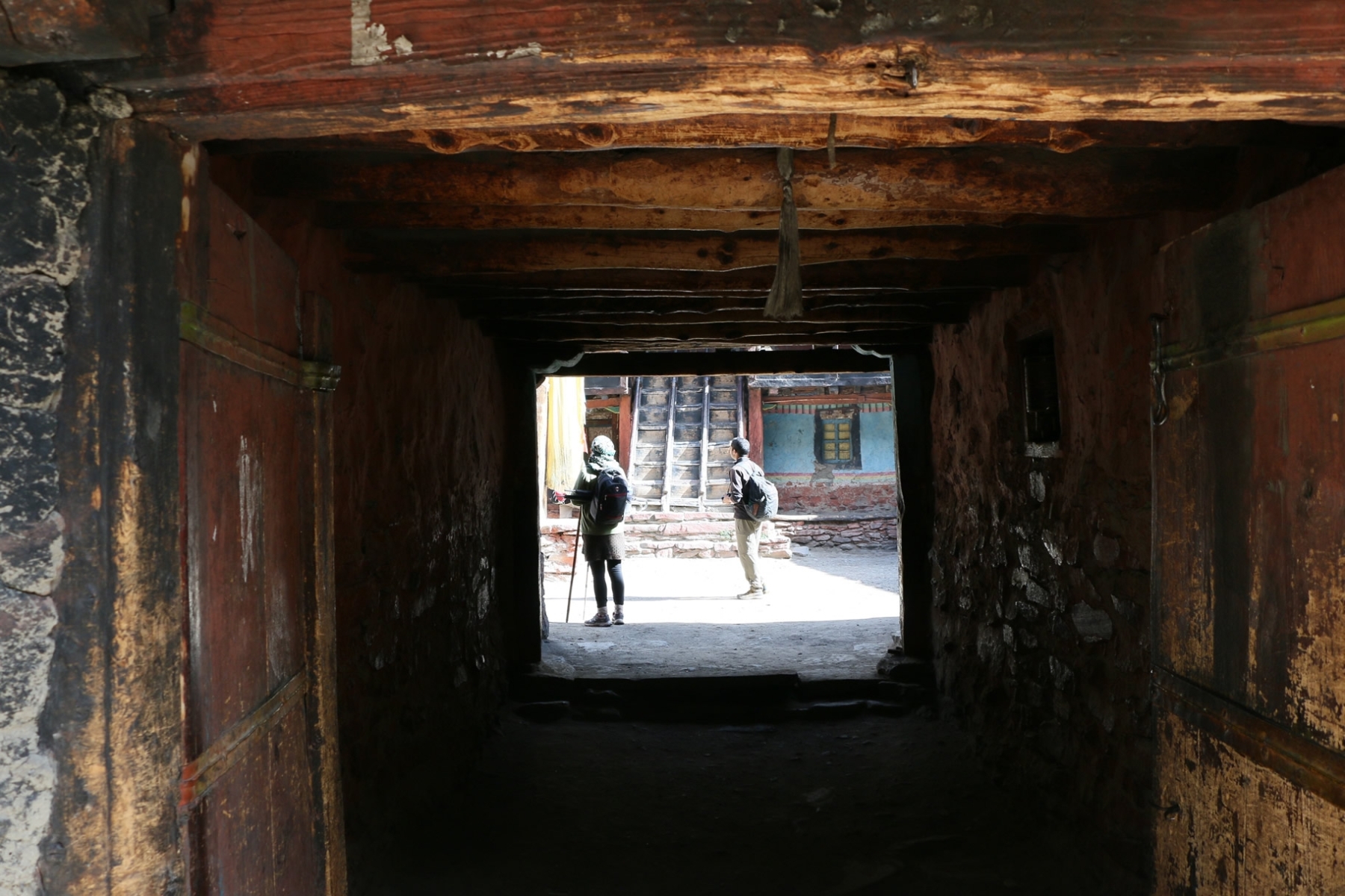
During the third trip in 2016, which included the kora to Mount Kailas, more detailed plans were begun to map out how a site could be constructed to house and organize all the materials, and early work to build a framework was sketched out. Below you can see some of the early concept drawings done by the site designer, Chris Crews, while in the field in Nepal and Tibet.
The site you are now on is the result of over three years of this fieldwork, testing, refining and development. There is still a large amount of data from the three years of fieldwork that is not reflected here, and which we hope will be added over time. We have tried to present as much data as possible given the time and funding constraints that were available to us. Like many academic endeavors that are supported by a time-bound grant, this site is ultimately a work in progress. Our hope is this site will continue to grow and be a resource of others.